Specialized Zone · Japan
Tatara Satoyama Regeneration Special Zone Inactive
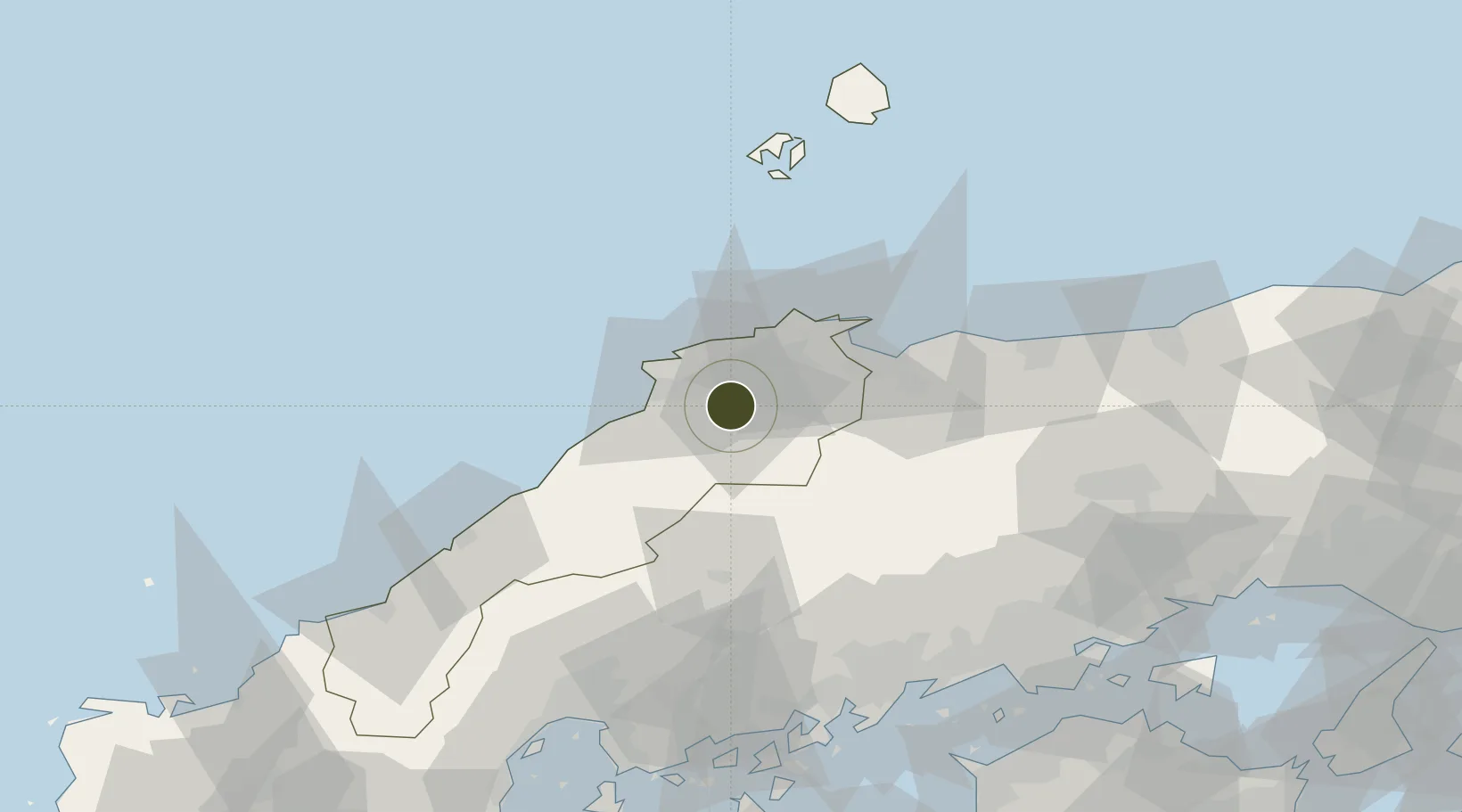
35.3077°, 132.9004°
55,340 ha
Zone area
39.2 km
Nearest port
11.8 km
Nearest airport
Gateway access
Zone profile
Zone type
Specialized Zone
Specialization
Biotech
Region
Shimane
Status
Inactive
Management
Public
Operator
Tatara Satoyama Revitalization Project Promotion Area Council
Legal framework
Designation of Tatara Satoyama Regional Revitalization Comprehensive Special Zone
Location
Nearby Logistics Neighbours
Ports
- 1Sakaiminato39 km
- 2Sakai Ko42 km
- 3Hamada Ko87 km
- 4Onomichi-Itozaki106 km
- 5Fukuyama109 km
Airports
Cities
- 1Unnan3 km
- 2Sakaiminato41 km
- 3Hoki46 km
- 4Hokuei81 km
- 5Hamada90 km
Trade Zones
- 1Onomichi Regional Medical Cooperation Promotion Special Zone100 km
- 2Hiroshima Environmental Tourism Model Urban Development Promotion Special Zone102 km
- 3Hiroshima Prefecture Imabari City National Strategic Special Zone110 km
- 4Hyper & Green Innovation Mizushima Complex General Special Zone115 km
- 5Okayama-type Sustainable Socio-Economic Model Construction Comprehensive Special Zone118 km
DatabookThe Record of Consolidated Knowledge
Japan beyond logistics?