UN/LOCODE hub · Japan
JPHMD
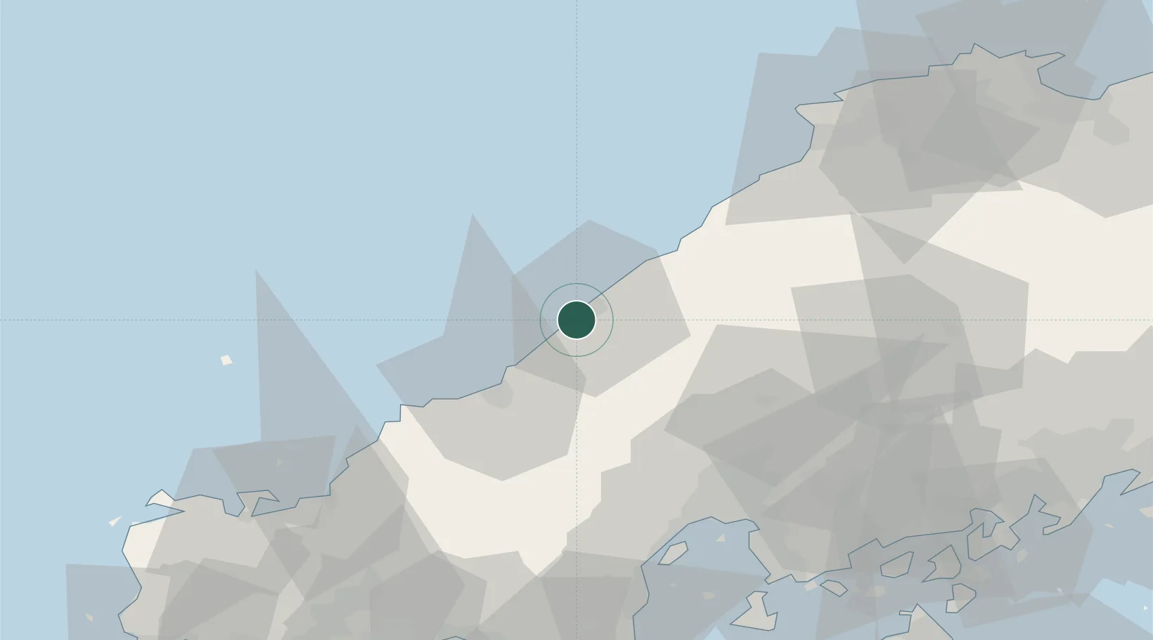
Hamada
34.8806°, 132.0553°
57,142
Population
1
Transport functions
1
Container terminals
Transport Functions
Port
Hub Profile
Place type
Provincial seat
Region
Shimane
Population
57,142
Time zone
Asia/Tokyo
Elevation
142 m
Logistics facilities
1
Container terminals
1
Location
Nearby Logistics Neighbours
Cities
- 1Hiroshima71 km
- 2Aki-gun/Hiroshima75 km
- 3Otake75 km
- 4Iwakuni79 km
- 5Unnan89 km
Ports
- 1Hiroshima70 km
- 2Hagi Ko79 km
- 3Iwakuni Ko80 km
- 4Kanokawa Ko85 km
- 5Kure85 km
Airports
- 1Iwami Airport33 km
- 2Iwakuni Kintaikyo Airport84 km
- 3Hiroshima Airport93 km
- 4Izumo Enmusubi Airport96 km
- 5JASDF Hofu Airfield105 km
Trade Zones
- 1Morisato Kairenkan Takatsu River Basin Hometown Concept Special Zone30 km
- 2Hiroshima Prefecture Imabari City National Strategic Special Zone66 km
- 3Tatara Satoyama Regeneration Special Zone90 km
- 4Yamaguchi Next-Generation Agricultural Production Structure Establishment Special Zone103 km
- 5Onomichi Regional Medical Cooperation Promotion Special Zone103 km
DatabookThe Record of Consolidated Knowledge
Japan beyond logistics?