Channel & Berth Profile
Pilotage, Tugs & Services
Pilotage compulsoryNO
Pilotage availableYES
Tug assistanceYES
Potable waterYES
Diesel bunkersYES
MedicalYES
Facilities & Capabilities
Container—
Ro-Ro—
Liquid bulk—
Dry bulk—
Oil terminal—
Break bulk—
Dry dock—
RepairsNO
BunkeringYES
Rail link—
Dangerous cargo—
ISPS security—
Harbour Specifications
Harbour size
Very Small
Harbour type
Coastal (Natural)
Shelter
Fair
Water body
Sea of Japan; North Pacific Ocean
Pilotage
No
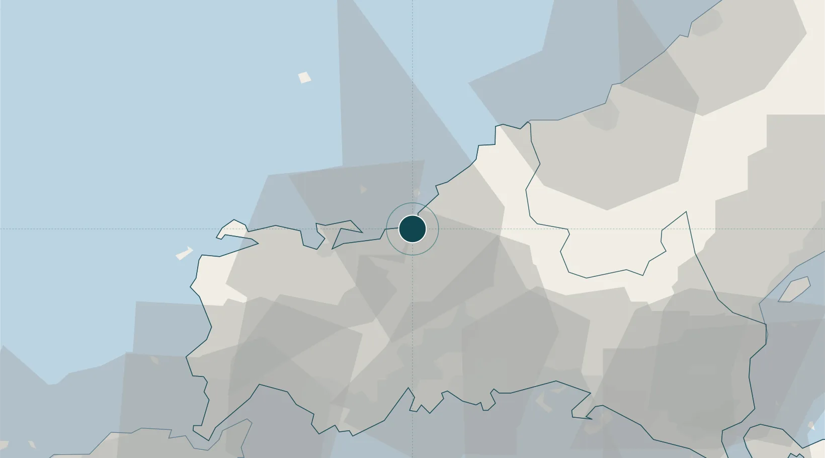
Location
Nearby Logistics Neighbours
Cities
- 1Sanyo Onoda Yamaguchi42 km
- 2Mitajiri46 km
- 3Nakanoseki47 km
- 4Hofu48 km
- 5Tokuyama55 km
Airports
- 1JASDF Hofu Airfield45 km
- 2Iwami Airport46 km
- 3Yamaguchi Ube Airport55 km
- 4Kitakyushu Airport72 km
- 5Iwakuni Kintaikyo Airport83 km
Trade Zones
- 1Morisato Kairenkan Takatsu River Basin Hometown Concept Special Zone49 km
- 2Yamaguchi Next-Generation Agricultural Production Structure Establishment Special Zone71 km
- 3Hiroshima Prefecture Imabari City National Strategic Special Zone97 km
- 4Higashi Kyushu Medical Valley Concept Special Zone124 km
- 5Green Asia International Strategic Comprehensive Special Zone128 km
DatabookThe Record of Consolidated Knowledge
Japan beyond logistics?