Transport Functions
Port
Multimodal
Hub Profile
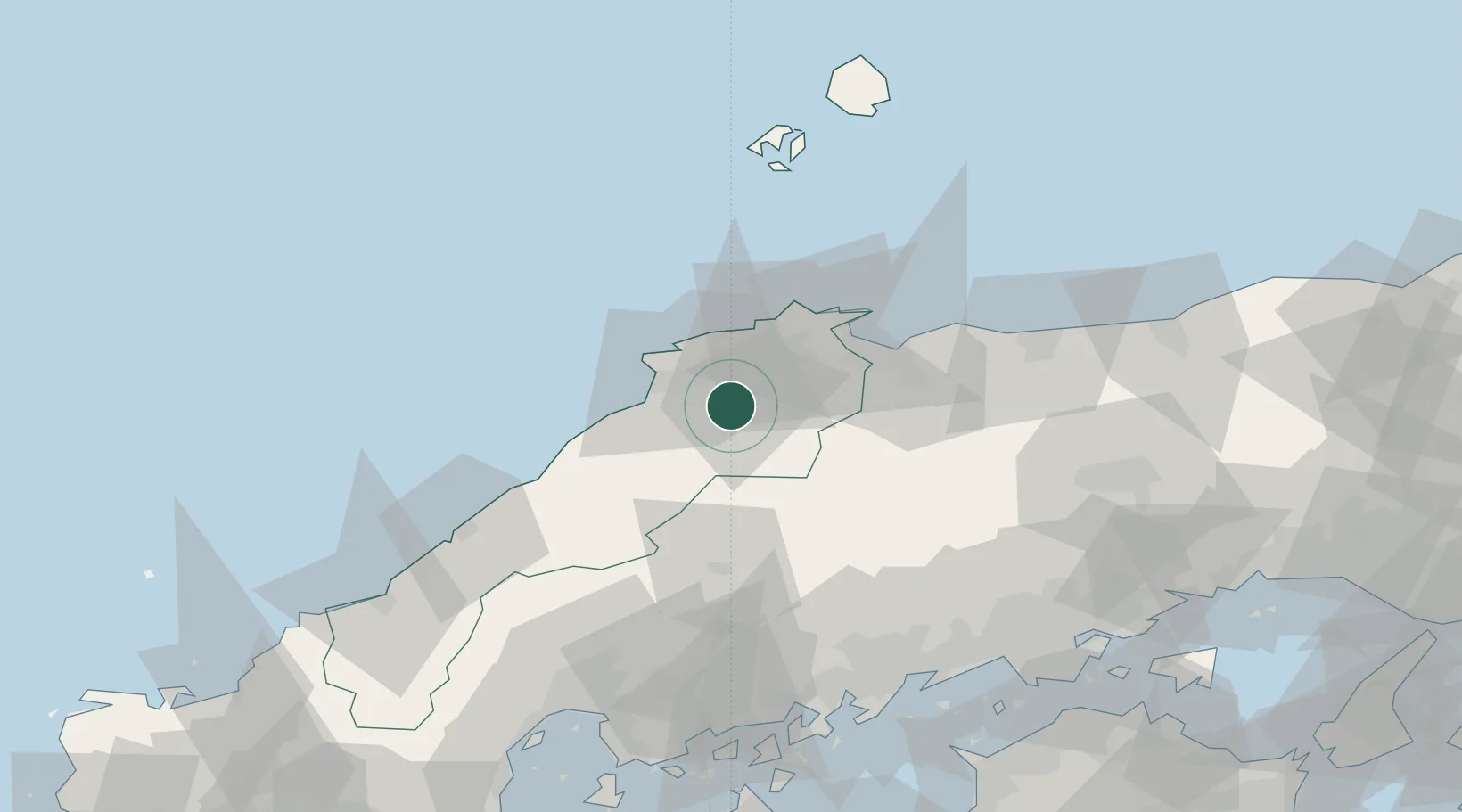
Place type
Provincial seat
Region
Shimane
Population
43,269
Time zone
Asia/Tokyo
Elevation
82 m
Location
Nearby Logistics Neighbours
Cities
- 1Sakaiminato43 km
- 2Hoki47 km
- 3Hokuei82 km
- 4Hamada89 km
- 5Tsuyama, Okayama103 km
Ports
- 1Sakaiminato41 km
- 2Sakai Ko43 km
- 3Hamada Ko86 km
- 4Onomichi-Itozaki103 km
- 5Fukuyama106 km
Airports
Trade Zones
- 1Tatara Satoyama Regeneration Special Zone3 km
- 2Onomichi Regional Medical Cooperation Promotion Special Zone97 km
- 3Hiroshima Environmental Tourism Model Urban Development Promotion Special Zone99 km
- 4Hiroshima Prefecture Imabari City National Strategic Special Zone108 km
- 5Hyper & Green Innovation Mizushima Complex General Special Zone113 km
DatabookThe Record of Consolidated Knowledge
Japan beyond logistics?