Channel & Berth Profile
Pilotage, Tugs & Services
Pilotage compulsoryYES
Pilotage availableYES
Tug assistanceYES
Potable waterYES
MedicalYES
Facilities & Capabilities
Container—
Ro-Ro—
Liquid bulk—
Dry bulk—
Oil terminal—
Break bulk—
Dry dock—
RepairsNO
BunkeringYES
Rail linkYES
Dangerous cargo—
ISPS security—
Harbour Specifications
Harbour size
Medium
Harbour type
Coastal (Natural)
Shelter
Good
Water body
Sea of Japan; North Pacific Ocean
Tidal range
4 m
Overhead limit
Yes
Pilotage
Yes
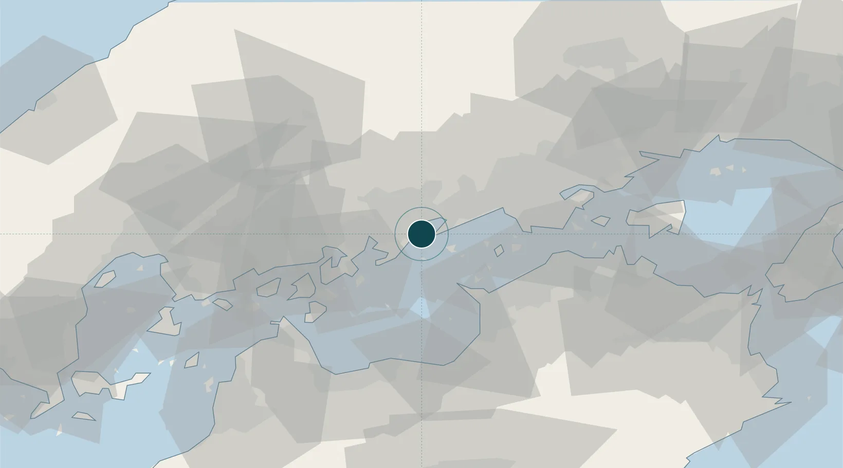
Location
Nearby Logistics Neighbours
Ports
- 1Onomichi-Itozaki25 km
- 2Habu Ko28 km
- 3Mizushima Ko30 km
- 4Takuma33 km
- 5Marugame Ko35 km
Cities
- 1Fukuyama, Hiroshima0 km
- 2Asakuchi17 km
- 3Mizushima24 km
- 4Tamashima25 km
- 5Soja, Okayama39 km
Airports
- 1Hiroshima Airport47 km
- 2Okayama Momotaro Airport53 km
- 3Takamatsu Airport59 km
- 4Matsuyama Airport95 km
- 5Kochi Ryoma Airport101 km
Trade Zones
- 1Hiroshima Environmental Tourism Model Urban Development Promotion Special Zone12 km
- 2Hyper & Green Innovation Mizushima Complex General Special Zone27 km
- 3Kagawa Medical Welfare General Special Zone35 km
- 4Onomichi Regional Medical Cooperation Promotion Special Zone37 km
- 5Okayama-type Sustainable Socio-Economic Model Construction Comprehensive Special Zone51 km
DatabookThe Record of Consolidated Knowledge
Japan beyond logistics?