Large airport · Japan
Okayama Momotaro AirportRJOB
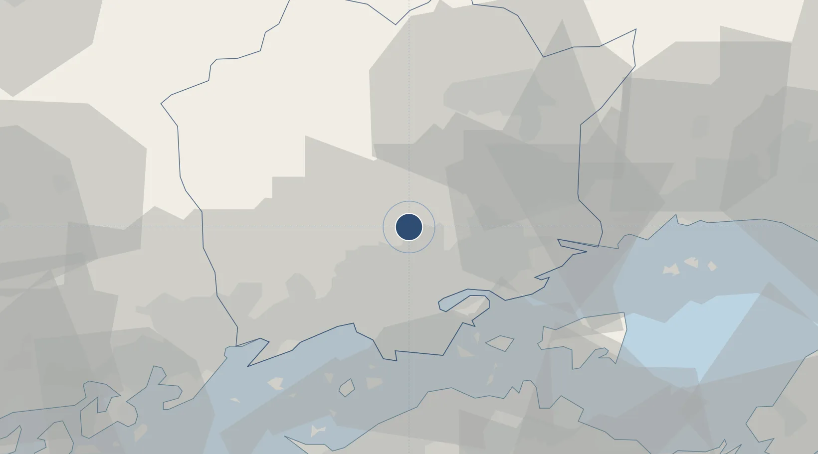
34.7569°, 133.8550°
9,843 ft
Longest runway
1
Runways
806 ft
Elevation
Runway & Layout

Radio Frequencies
TWR
124.3 MHz
APP
120.4 MHz
TAKAMATSU APP
Navaids
OKC VORTAC Okayama 115.90 MHz
OYE VOR-DME Kibi 111.00 MHz
Runways · 1
| Runway | Dimensions | Surface | True heading | Lit |
|---|---|---|---|---|
| 07/25 | 9,843 × 150ft | Asphalt | 059° | ✓ |
Airport Specifications
IATA code
OKJ
ICAO code
RJOB
Airport class
Large airport
Scheduled service
Yes
Runway surface
Asphalt
Served city
Okayama
Location
Nearby Logistics Neighbours
Airports
Cities
- 1Mitsu Kanagawa9 km
- 2Soja, Okayama14 km
- 3Wake23 km
- 4Setouchi25 km
- 5Bizen30 km
Ports
- 1Mizushima Ko30 km
- 2Uno Ko32 km
- 3Hibi Ko35 km
- 4Sakaide Ko47 km
- 5Takamatsu49 km
Trade Zones
- 1Okayama-type Sustainable Socio-Economic Model Construction Comprehensive Special Zone13 km
- 2Hyper & Green Innovation Mizushima Complex General Special Zone30 km
- 3Takamatsu Compact Eco-City Special Zone50 km
- 4Kagawa Medical Welfare General Special Zone51 km
- 5Hiroshima Environmental Tourism Model Urban Development Promotion Special Zone60 km
DatabookThe Record of Consolidated Knowledge
Japan beyond logistics?