UN/LOCODE hub · Japan
JPFKY
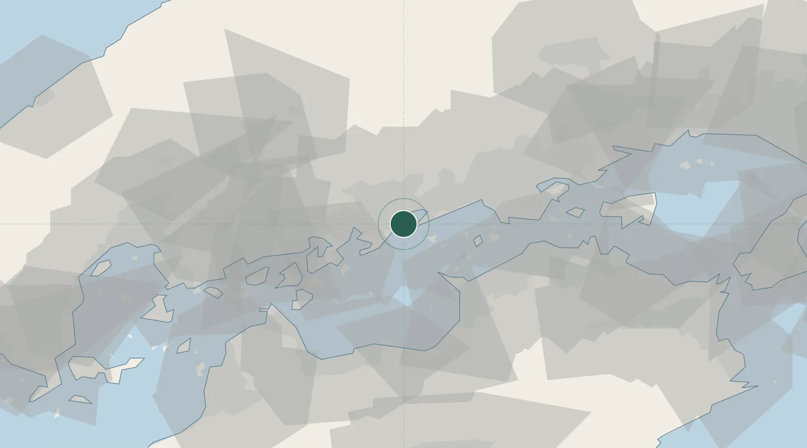
Fukuyama, Hiroshima
34.4370°, 133.4325°
1
Transport functions
1
Container terminals
Transport Functions
Port
Hub Profile
Region
34
Logistics facilities
3
Container terminals
1
Location
Nearby Logistics Neighbours
Cities
- 1Asakuchi16 km
- 2Mizushima24 km
- 3Tamashima25 km
- 4Soja, Okayama39 km
- 5Mitoyo, Kagawa40 km
Ports
- 1Fukuyama0 km
- 2Onomichi-Itozaki25 km
- 3Habu Ko29 km
- 4Mizushima Ko30 km
- 5Takuma34 km
Airports
- 1Hiroshima Airport47 km
- 2Okayama Momotaro Airport53 km
- 3Takamatsu Airport59 km
- 4Matsuyama Airport96 km
- 5Kochi Ryoma Airport102 km
Trade Zones
- 1Hiroshima Environmental Tourism Model Urban Development Promotion Special Zone12 km
- 2Hyper & Green Innovation Mizushima Complex General Special Zone27 km
- 3Kagawa Medical Welfare General Special Zone35 km
- 4Onomichi Regional Medical Cooperation Promotion Special Zone37 km
- 5Okayama-type Sustainable Socio-Economic Model Construction Comprehensive Special Zone51 km
DatabookThe Record of Consolidated Knowledge
Japan beyond logistics?