Channel & Berth Profile
Pilotage, Tugs & Services
Pilotage compulsoryYES
Pilotage availableYES
Tug assistanceNO
Salvage tugsNO
Potable waterNO
Diesel bunkersNO
MedicalYES
Facilities & Capabilities
Container—
Ro-Ro—
Liquid bulk—
Dry bulk—
Oil terminal—
Break bulk—
Dry dock—
Repairs—
BunkeringNO
Rail link—
Dangerous cargo—
ISPS security—
Harbour Specifications
Harbour size
Very Small
Harbour type
Open Roadstead
Shelter
Poor
Water body
Caribbean Sea; North Atlantic Ocean
Tidal range
1 m
Overhead limit
No
Pilotage
Yes
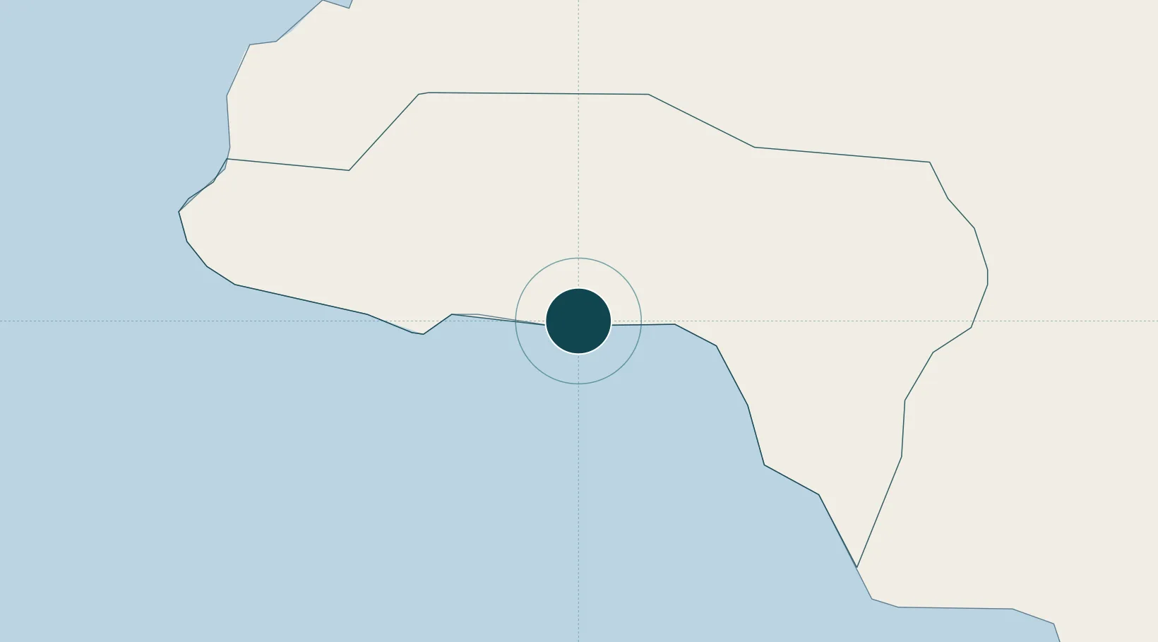
Location
Nearby Logistics Neighbours
Ports
- 1Lucea28 km
- 2Montego Bay36 km
- 3Falmouth60 km
- 4Port Kaiser68 km
- 5Rio Bueno76 km
Cities
- 1Montego Bay36 km
- 2Wakefield50 km
- 3Rose Hall59 km
- 4Long Pond67 km
- 5Priory101 km
Airports
- 1Sangster International Airport41 km
- 2Ian Fleming International Airport125 km
- 3Tinson Pen Airport140 km
- 4Norman Manley International Airport145 km
- 5Ken Jones Airport169 km
Trade Zones
DatabookThe Record of Consolidated Knowledge
Jamaica beyond logistics?