Large airport · Jamaica

Sangster International AirportMKJS
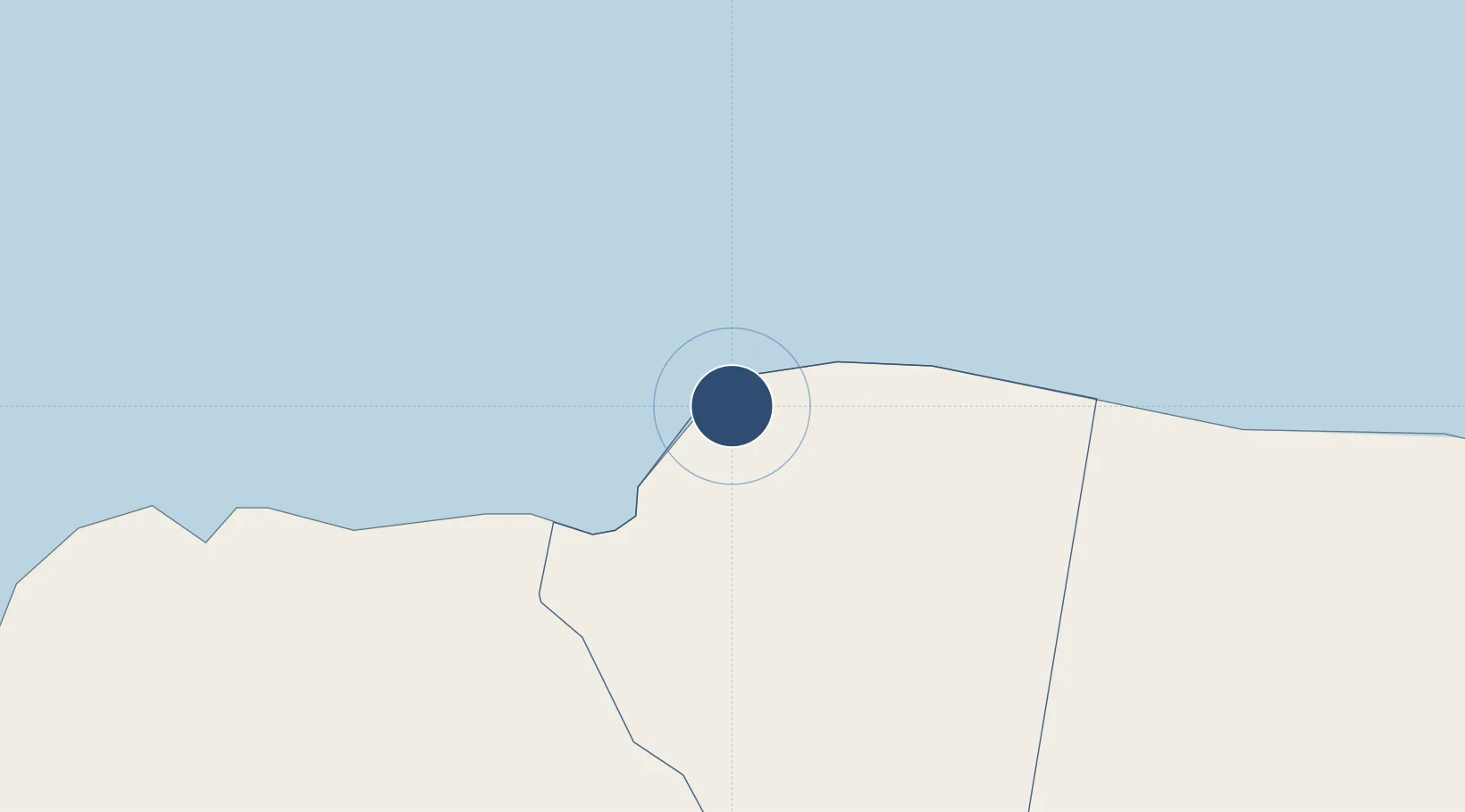
18.5034°, -77.9132°
10,039 ft
Longest runway
1
Runways
4 ft
Elevation

Runway & Layout

Sangster International Airport runway & taxiway layout
Runway & taxiway layout — OpenStreetMap (ODbL) / OurAirports

Radio Frequencies

ATIS
127.9 MHz
TWR
118.75 MHz
GND
121.7 MHz
APP
120.8 MHz
VOR-DME
115.7 MHz
Rwy 25
OurAirports

Navaids

MBJ NDB Montego Bay 248 kHz
SIA VOR-DME Sangster 115.70 MHz
OurAirports

Runways · 1

RunwayDimensions SurfaceTrue headingLit
07/25 10,039 × 148ft Asphalt 066°
OurAirports

Airport Specifications

IATA code
MBJ
OurAirports
ICAO code
MKJS
OurAirports
Airport class
Large airport
OurAirports
Scheduled service
Yes
OurAirports
Runway surface
Asphalt
OurAirports
Served city
Montego Bay
OurAirports

Location

Location of MKJS
Natural Earth 10m (public domain) · Saint James · MKJS · 18.50, -77.91GoogleOSMYandex

Nearby Logistics Neighbours

Airports
  1. 1Ian Fleming International Airport100 km
  2. 2Tinson Pen Airport129 km
  3. 3Norman Manley International Airport135 km
  4. 4Ken Jones Airport149 km
  5. 5Sierra Maestra International Airport217 km
Nearest neighbours — logibook spatial index (haversine) over the source coordinates
Cities
  1. 1Montego Bay5 km
  2. 2Wakefield23 km
  3. 3Long Pond39 km
  4. 4Savanna-la-Mar39 km
  5. 5Rose Hall69 km
Nearest neighbours — logibook spatial index (haversine) over the source coordinates
Ports
  1. 1Montego Bay5 km
  2. 2Lucea27 km
  3. 3Falmouth28 km
  4. 4Savannah La Mar41 km
  5. 5Rio Bueno47 km
Nearest neighbours — logibook spatial index (haversine) over the source coordinates
Trade Zones
  1. 1Cazoumar Free Zone5 km
  2. 2Montego Bay Free Zone5 km
  3. 3Jamaica-Gansu Industrial Park68 km
  4. 4Vernamfield Aerotropolis and Logistics Hub93 km
  5. 5Hayes Free Zone104 km
Nearest neighbours — logibook spatial index (haversine) over the source coordinates
DatabookThe Record of Consolidated Knowledge
Jamaica beyond logistics?
Browse databook

All Sources

AirportsOurAirports
Public domain
Portsthe NGA World Port Index
Public domain (US gov)
LocationsUN/LOCODE
UN/LOCODE — free
Trade Zonesthe World Bank SEZ database
CC BY 4.0
Trade ZonesOpen Zone Map
CC BY
InfrastructureOpenStreetMap
ODbL 1.0
← Jamaica airports