Export Processing Zone · Jamaica

Jamaica-Gansu Industrial Park Under Development
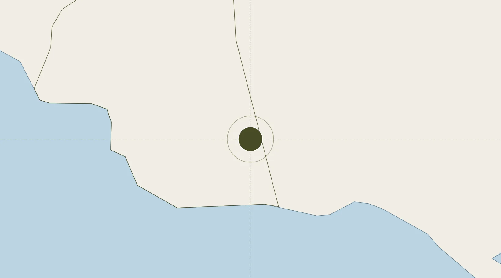
17.9678°, -77.6111°
13 ha
Zone area
11.3 km
Nearest port
67.6 km
Nearest airport

Gateway access

Nearest neighbours — logibook spatial index (haversine) over the source coordinates

Zone profile

Zone type
Export Processing Zone
Open Zone Map
Region
Saint Elizabeth
Open Zone Map
Status
Under Development
Open Zone Map
Management
Public-Private Partnership
Open Zone Map
Operator
Jiuquan Iron and Steel Company (JISCO)
Open Zone Map
Legal framework
Special Economic Zones Act (2016)
Open Zone Map

Location

Location of ozm-2548
Natural Earth 10m (public domain) · Saint Elizabeth · ozm-2548 · 17.97, -77.61GoogleOSMYandex

Nearby Logistics Neighbours

Ports
  1. 1Port Kaiser11 km
  2. 2Port Esquivel51 km
  3. 3Rocky Point52 km
  4. 4Falmouth58 km
  5. 5Rio Bueno58 km
Nearest neighbours — logibook spatial index (haversine) over the source coordinates
Airports
  1. 1Sangster International Airport68 km
  2. 2Tinson Pen Airport83 km
  3. 3Ian Fleming International Airport83 km
  4. 4Norman Manley International Airport87 km
  5. 5Ken Jones Airport117 km
Nearest neighbours — logibook spatial index (haversine) over the source coordinates
Cities
  1. 1Rose Hall6 km
  2. 2Wakefield51 km
  3. 3Long Pond52 km
  4. 4Savanna-la-Mar62 km
  5. 5Montego Bay65 km
Nearest neighbours — logibook spatial index (haversine) over the source coordinates
Trade Zones
  1. 1Vernamfield Aerotropolis and Logistics Hub33 km
  2. 2Hayes Free Zone42 km
  3. 3Montego Bay Free Zone64 km
  4. 4Cazoumar Free Zone65 km
  5. 5Spanish Town Free Zone68 km
Nearest neighbours — logibook spatial index (haversine) over the source coordinates
DatabookThe Record of Consolidated Knowledge
Jamaica beyond logistics?
Browse databook

All Sources

Trade ZonesOpen Zone Map
CC BY
Portsthe NGA World Port Index
Public domain (US gov)
AirportsOurAirports
Public domain
LocationsUN/LOCODE
UN/LOCODE — free
← Jamaica trade zones