Seaport · Jamaica
Montego BayJMMBJ
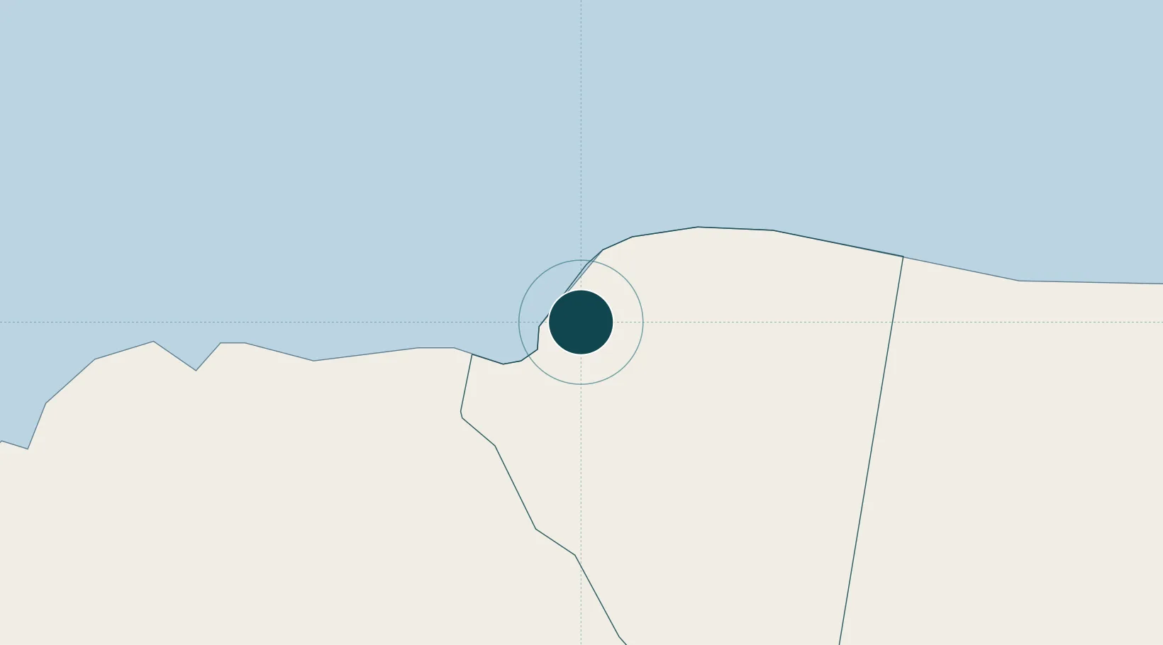
18.4667°, -77.9333°
9.4 m
Channel depth
1
Container terminals
12.9
Port liner connectivity
Channel & Berth Profile
Pilotage, Tugs & Services
Pilotage compulsoryYES
Pilotage availableYES
Tug assistanceYES
Shore powerYES
Potable waterYES
Diesel bunkersYES
MedicalYES
Garbage disposalYES
Facilities & Capabilities
ContainerYES
Ro-RoYES
Liquid bulkYES
Dry bulkYES
Oil terminal—
Break bulkYES
Dry dock—
RepairsNO
BunkeringYES
Rail linkYES
Dangerous cargo—
ISPS securityYES
Harbour Specifications
Harbour size
Small
Harbour type
Coastal (Breakwater)
Shelter
Excellent
Water body
Caribbean Sea; North Atlantic Ocean
Tidal range
0.2 m
Overhead limit
No
Pilotage
Yes
Liner Connectivity
12.9
PLSCI
Port Liner Shipping Connectivity Index for Montego Bay, as published by UNCTAD for the latest available quarter. Higher values indicate stronger scheduled liner-shipping integration.
Shown relative to the highest per-port PLSCI in the dataset (1,657.9).
Location
Container Terminals · 1
MONTEGO BAY FREEPORT
MBY PORT HANDLERS LTD.
Nearby Logistics Neighbours
Ports
- 1Lucea25 km
- 2Falmouth30 km
- 3Savannah La Mar36 km
- 4Rio Bueno49 km
- 5Port Kaiser75 km
Cities
- 1Wakefield24 km
- 2Savanna-la-Mar35 km
- 3Long Pond41 km
- 4Rose Hall66 km
- 5Priory76 km
Airports
Trade Zones
DatabookThe Record of Consolidated Knowledge
Jamaica beyond logistics?