Specialized Zone · Jamaica

Vernamfield Aerotropolis and Logistics Hub Under Development
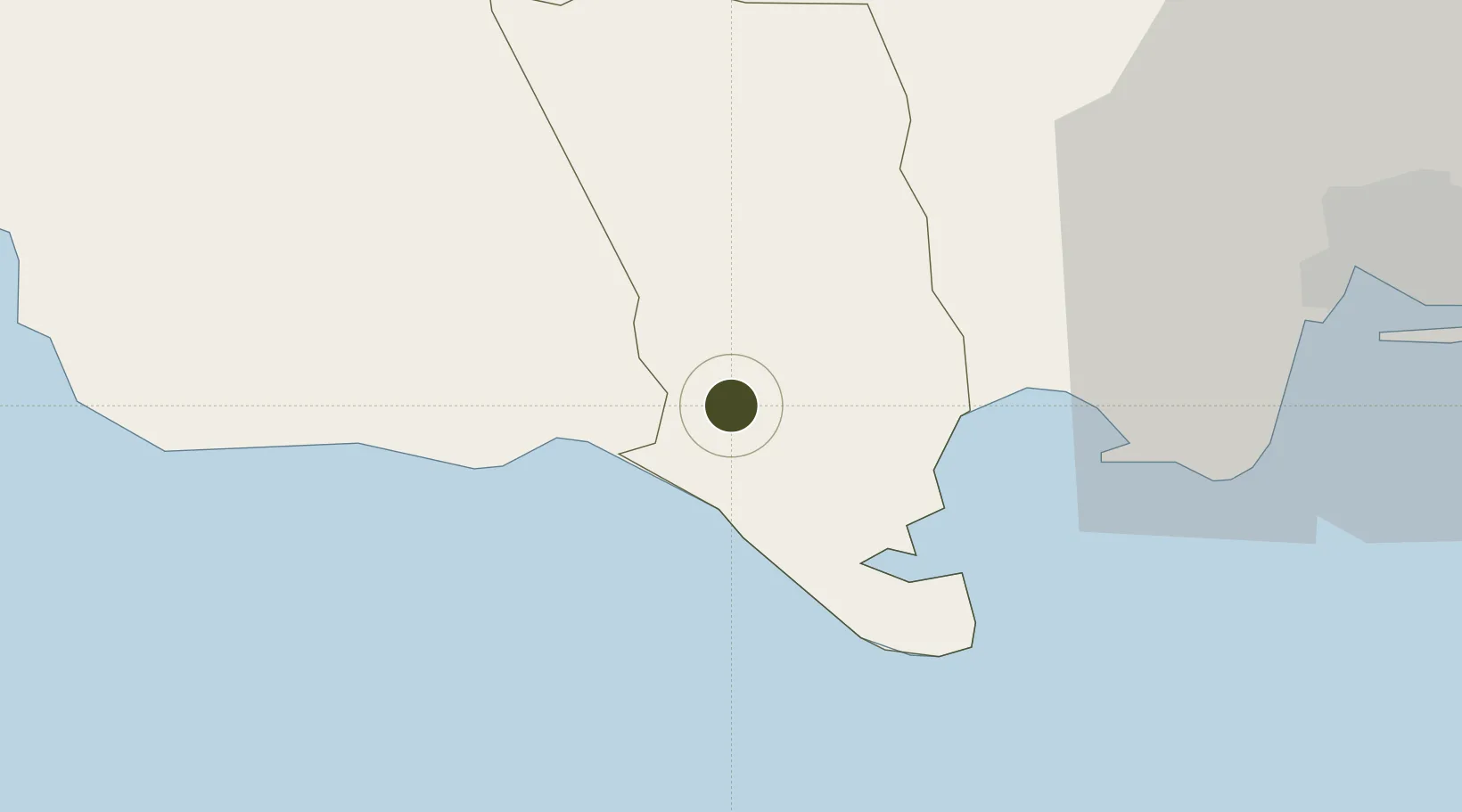
17.8887°, -77.3118°
2,428 ha
Zone area
18.9 km
Nearest port
52.8 km
Nearest airport

Gateway access

Nearest neighbours — logibook spatial index (haversine) over the source coordinates

Zone profile

Zone type
Specialized Zone
Open Zone Map
Specialization
Aerospace
Open Zone Map
Region
Clarendon
Open Zone Map
Status
Under Development
Open Zone Map
Management
Public-Private Partnership
Open Zone Map
Operator
Jiuquan Iron and Steel Company (JISCO)
Open Zone Map
Legal framework
Special Economic Zones Act (2016)
Open Zone Map

Location

Location of ozm-2553
Natural Earth 10m (public domain) · Clarendon · ozm-2553 · 17.89, -77.31GoogleOSMYandex

Nearby Logistics Neighbours

Ports
  1. 1Port Esquivel19 km
  2. 2Rocky Point19 km
  3. 3Port Kaiser31 km
  4. 4Kingston57 km
  5. 5Ocho Rios62 km
Nearest neighbours — logibook spatial index (haversine) over the source coordinates
Airports
  1. 1Tinson Pen Airport53 km
  2. 2Norman Manley International Airport56 km
  3. 3Ian Fleming International Airport68 km
  4. 4Ken Jones Airport89 km
  5. 5Sangster International Airport93 km
Nearest neighbours — logibook spatial index (haversine) over the source coordinates
Cities
  1. 1Rose Hall36 km
  2. 2Port Henderson46 km
  3. 3Kingston52 km
  4. 4Vineyard58 km
  5. 5Saint Ann's Bay62 km
Nearest neighbours — logibook spatial index (haversine) over the source coordinates
Trade Zones
  1. 1Hayes Free Zone11 km
  2. 2Jamaica-Gansu Industrial Park33 km
  3. 3Spanish Town Free Zone38 km
  4. 4Portmore Informatics Park Free Zone45 km
  5. 5Caymanas Special Economic Zone47 km
Nearest neighbours — logibook spatial index (haversine) over the source coordinates
DatabookThe Record of Consolidated Knowledge
Jamaica beyond logistics?
Browse databook

All Sources

Trade ZonesOpen Zone Map
CC BY
Portsthe NGA World Port Index
Public domain (US gov)
AirportsOurAirports
Public domain
LocationsUN/LOCODE
UN/LOCODE — free
← Jamaica trade zones