Transport Functions
Multimodal
Hub Profile
Place type
Populated place
Region
St. Elizabeth
Time zone
America/Jamaica
Elevation
334 m
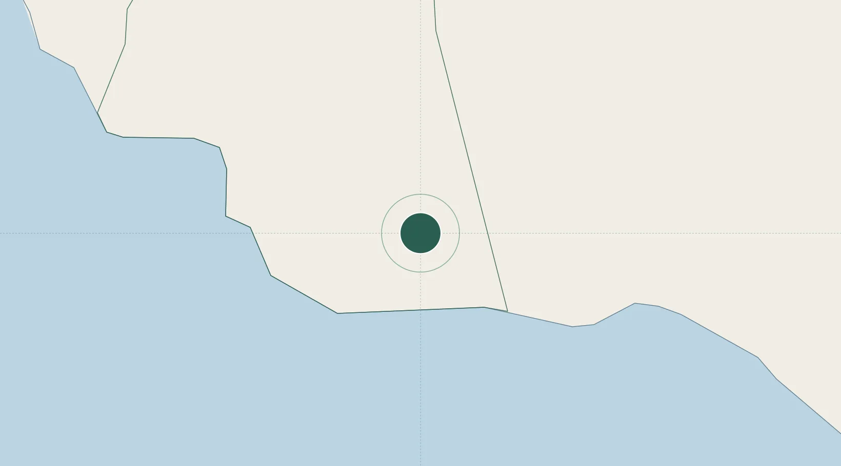
Location
Nearby Logistics Neighbours
Cities
- 1Wakefield54 km
- 2Long Pond57 km
- 3Savanna-la-Mar60 km
- 4Montego Bay66 km
- 5Saint Ann's Bay73 km
Ports
- 1Port Kaiser9 km
- 2Rocky Point55 km
- 3Port Esquivel55 km
- 4Savannah La Mar59 km
- 5Falmouth61 km
Airports
Trade Zones
DatabookThe Record of Consolidated Knowledge
Jamaica beyond logistics?