Channel & Berth Profile
Pilotage, Tugs & Services
Pilotage compulsoryYES
Pilotage availableYES
Tug assistanceYES
Salvage tugsNO
Potable waterYES
Diesel bunkersNO
Garbage disposalNO
Facilities & Capabilities
Container—
Ro-RoYES
Liquid bulkYES
Dry bulkYES
Oil terminal—
Break bulkYES
Dry dock—
RepairsNO
BunkeringYES
Rail linkYES
Dangerous cargo—
ISPS securityYES
Harbour Specifications
Harbour size
Very Small
Harbour type
Open Roadstead
Shelter
Fair
Water body
Caribbean Sea; North Atlantic Ocean
Tidal range
0.3 m
Overhead limit
No
Pilotage
Yes
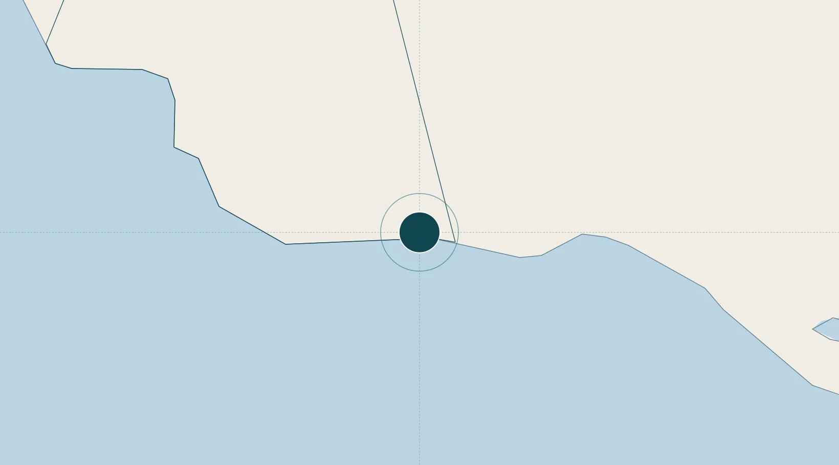
Location
Nearby Logistics Neighbours
Ports
- 1Rocky Point48 km
- 2Port Esquivel49 km
- 3Savannah La Mar68 km
- 4Rio Bueno68 km
- 5Falmouth69 km
Cities
- 1Rose Hall9 km
- 2Wakefield62 km
- 3Long Pond63 km
- 4Savanna-la-Mar69 km
- 5Montego Bay75 km
Airports
Trade Zones
DatabookThe Record of Consolidated Knowledge
Jamaica beyond logistics?