Transport Functions
Road
Multimodal
Hub Profile
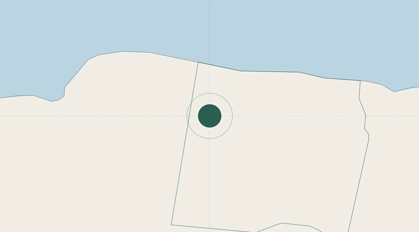
Place type
Populated place
Region
Trelawny Parish
Population
2,763
Time zone
America/Jamaica
Elevation
94 m
Location
Nearby Logistics Neighbours
Cities
- 1Long Pond18 km
- 2Montego Bay24 km
- 3Savanna-la-Mar49 km
- 4Priory53 km
- 5Rose Hall54 km
Ports
- 1Falmouth10 km
- 2Montego Bay24 km
- 3Rio Bueno27 km
- 4Lucea48 km
- 5Savannah La Mar50 km
Airports
Trade Zones
DatabookThe Record of Consolidated Knowledge
Jamaica beyond logistics?