Transport Functions
Multimodal
Hub Profile
Place type
Populated place
Region
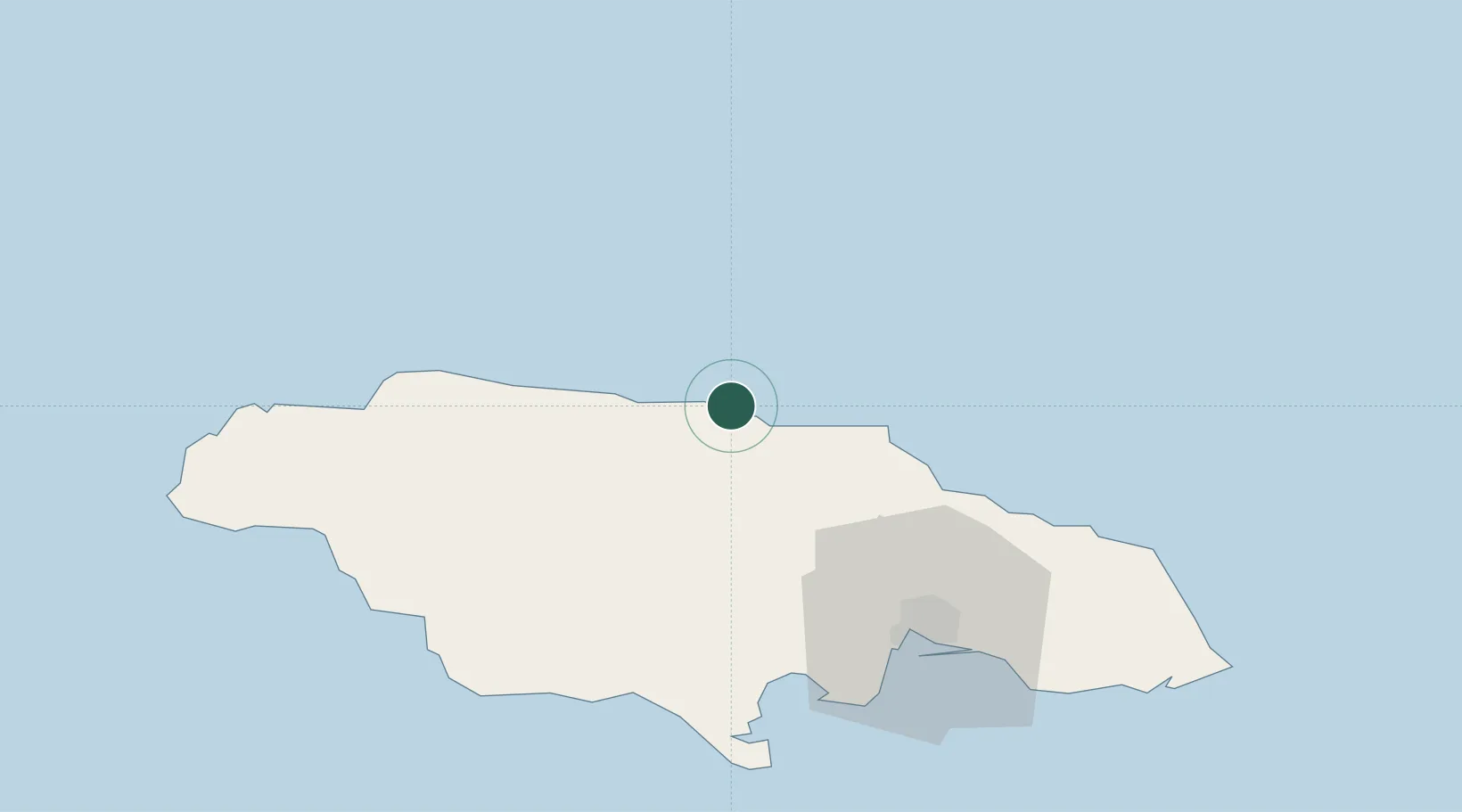
Saint Ann Parish
Time zone
America/Jamaica
Elevation
40 m
Location
Nearby Logistics Neighbours
Cities
- 1Saint Ann's Bay3 km
- 2Oracabessa29 km
- 3Long Pond35 km
- 4Wakefield53 km
- 5Charles Town64 km
Ports
- 1Ocho Rios11 km
- 2Rio Bueno26 km
- 3Falmouth46 km
- 4Port Esquivel64 km
- 5Kingston71 km
Airports
Trade Zones
DatabookThe Record of Consolidated Knowledge
Jamaica beyond logistics?