Channel & Berth Profile
Pilotage, Tugs & Services
Pilotage compulsoryYES
Pilotage availableYES
Tug assistanceNO
Salvage tugsNO
Potable waterYES
MedicalYES
Garbage disposalNO
Facilities & Capabilities
Container—
Ro-Ro—
Liquid bulkYES
Dry bulk—
Oil terminal—
Break bulkYES
Dry dock—
RepairsNO
BunkeringYES
Rail link—
Dangerous cargo—
ISPS security—
Harbour Specifications
Harbour size
Very Small
Harbour type
Open Roadstead
Shelter
Excellent
Water body
Caribbean Sea; North Atlantic Ocean
Tidal range
0.3 m
Overhead limit
No
Pilotage
Yes
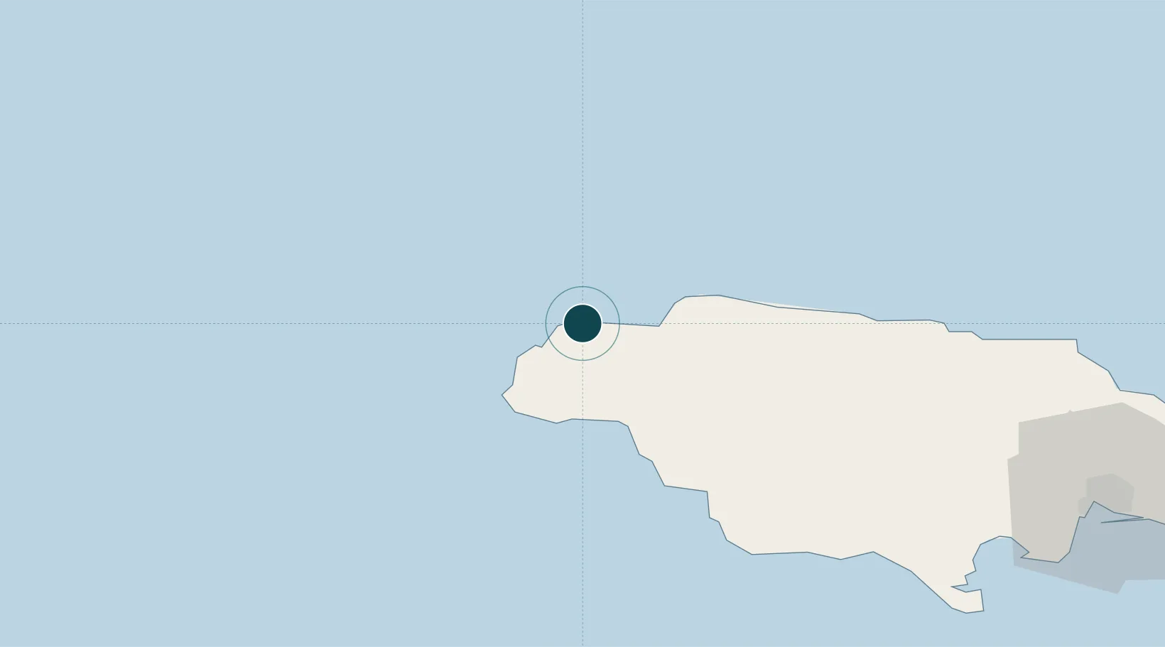
Location
Nearby Logistics Neighbours
Ports
- 1Montego Bay25 km
- 2Savannah La Mar28 km
- 3Falmouth55 km
- 4Rio Bueno74 km
- 5Port Kaiser88 km
Cities
- 1Montego Bay24 km
- 2Savanna-la-Mar26 km
- 3Wakefield48 km
- 4Long Pond65 km
- 5Rose Hall79 km
Airports
- 1Sangster International Airport27 km
- 2Ian Fleming International Airport126 km
- 3Tinson Pen Airport151 km
- 4Norman Manley International Airport157 km
- 5Ken Jones Airport175 km
Trade Zones
- 1Cazoumar Free Zone25 km
- 2Montego Bay Free Zone25 km
- 3Jamaica-Gansu Industrial Park80 km
- 4Vernamfield Aerotropolis and Logistics Hub110 km
- 5Hayes Free Zone120 km
DatabookThe Record of Consolidated Knowledge
Jamaica beyond logistics?