Channel & Berth Profile
Pilotage, Tugs & Services
Pilotage compulsoryYES
Pilotage availableYES
Tug assistanceNO
Potable waterYES
Diesel bunkersNO
MedicalYES
Facilities & Capabilities
Container—
Ro-Ro—
Liquid bulk—
Dry bulkYES
Oil terminal—
Break bulkYES
Dry dock—
RepairsNO
BunkeringNO
Rail link—
Dangerous cargo—
ISPS securityYES
Harbour Specifications
Harbour size
Very Small
Harbour type
Open Roadstead
Shelter
Fair
Water body
Caribbean Sea; North Atlantic Ocean
Overhead limit
No
Pilotage
Yes
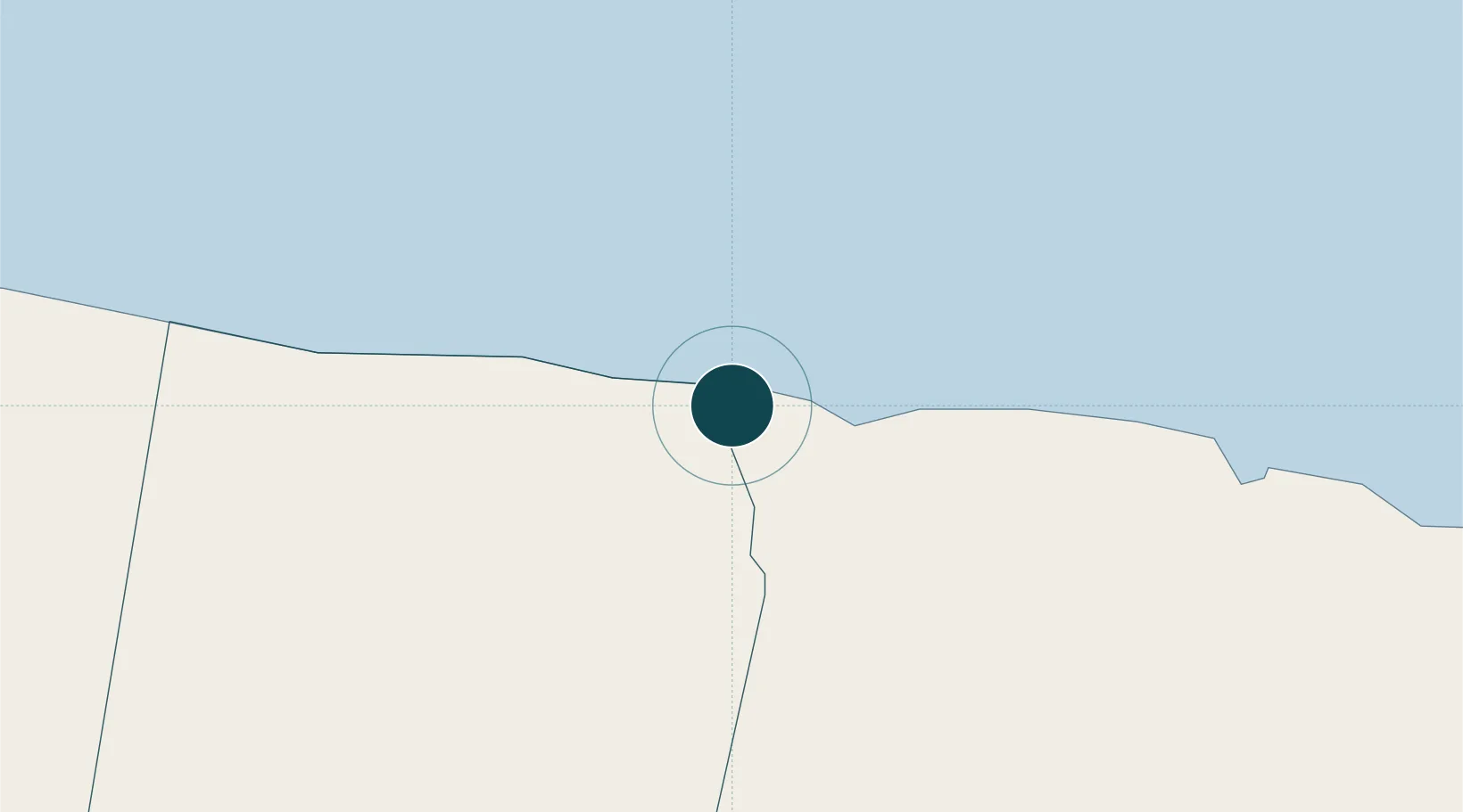
Location
Nearby Logistics Neighbours
Ports
- 1Falmouth19 km
- 2Ocho Rios37 km
- 3Montego Bay49 km
- 4Port Kaiser68 km
- 5Port Esquivel74 km
Cities
- 1Long Pond10 km
- 2Priory26 km
- 3Wakefield27 km
- 4Saint Ann's Bay28 km
- 5Montego Bay50 km
Airports
Trade Zones
DatabookThe Record of Consolidated Knowledge
Jamaica beyond logistics?