Special Economic Zone · Jamaica

Montego Bay Free Zone Active
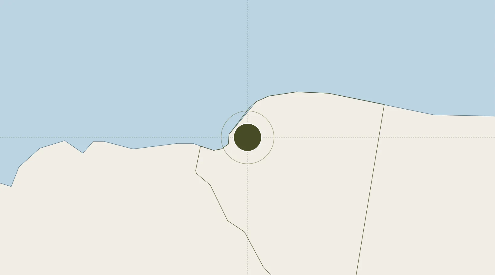
18.4597°, -77.9324°
39 ha
Zone area
0.8 km
Nearest port
5.3 km
Nearest airport

Gateway access

Nearest neighbours — logibook spatial index (haversine) over the source coordinates

Zone profile

Zone type
Special Economic Zone
the World Bank SEZ database
Region
Saint James
the World Bank SEZ database
Status
Active
the World Bank SEZ database
Established
1985
the World Bank SEZ database
Management
Public agency
the World Bank SEZ database
Operator
Port Authority of Jamaica
the World Bank SEZ database
Regulatory authority
Special Economic Zones Authority (SEZA)
the World Bank SEZ database
Legal framework
Special Economic Zones Act
the World Bank SEZ database

Location

Location of JAM2
Natural Earth 10m (public domain) · Saint James · JAM2 · 18.46, -77.93GoogleOSMYandex

Fiscal & incentives

Corporate tax
25%
the World Bank SEZ database
Tax relief
Reduced fixed-rate at 12.5%
the World Bank SEZ database
Relief duration
Perpetual
the World Bank SEZ database
VAT
100% exempt from general consumptive tax on electricity or telecommunications
the World Bank SEZ database
Import duty (inputs)
100% exempt
the World Bank SEZ database
Import duty (capex)
100% exempt
the World Bank SEZ database
Profit repatriation
No exemption
the World Bank SEZ database
Capital gains
No exemption
the World Bank SEZ database
Withholding tax
No exemption
the World Bank SEZ database
Min. investment
None
the World Bank SEZ database
Min. export
0%
the World Bank SEZ database
Employment incentive
No exemption
the World Bank SEZ database
Developer incentive
Yes
the World Bank SEZ database

Nearby Logistics Neighbours

Ports
  1. 1Montego Bay1 km
  2. 2Lucea25 km
  3. 3Falmouth30 km
  4. 4Savannah La Mar36 km
  5. 5Rio Bueno49 km
Nearest neighbours — logibook spatial index (haversine) over the source coordinates
Airports
  1. 1Sangster International Airport5 km
  2. 2Ian Fleming International Airport102 km
  3. 3Tinson Pen Airport128 km
  4. 4Norman Manley International Airport134 km
  5. 5Ken Jones Airport150 km
Nearest neighbours — logibook spatial index (haversine) over the source coordinates
Cities
  1. 1Montego Bay0 km
  2. 2Wakefield23 km
  3. 3Savanna-la-Mar34 km
  4. 4Long Pond40 km
  5. 5Rose Hall66 km
Nearest neighbours — logibook spatial index (haversine) over the source coordinates
Trade Zones
  1. 1Cazoumar Free Zone0 km
  2. 2Jamaica-Gansu Industrial Park64 km
  3. 3Vernamfield Aerotropolis and Logistics Hub91 km
  4. 4Hayes Free Zone102 km
  5. 5Spanish Town Free Zone114 km
Nearest neighbours — logibook spatial index (haversine) over the source coordinates
DatabookThe Record of Consolidated Knowledge
Jamaica beyond logistics?
Browse databook

All Sources

Trade Zonesthe World Bank SEZ database
CC BY 4.0
Portsthe NGA World Port Index
Public domain (US gov)
AirportsOurAirports
Public domain
LocationsUN/LOCODE
UN/LOCODE — free
← Jamaica trade zones