Medium airport · Jamaica

Tinson Pen AirportMKTP
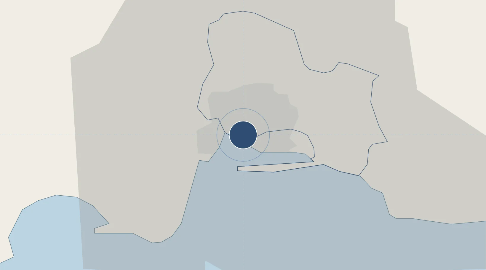
17.9886°, -76.8238°
4,300 ft
Longest runway
1
Runways
16 ft
Elevation

Runway & Layout

Tinson Pen Airport runway & taxiway layout
Runway & taxiway layout — OpenStreetMap (ODbL) / OurAirports

Radio Frequencies

FSS
121.6 MHz
FIS
OurAirports

Runways · 1

RunwayDimensions SurfaceTrue headingLit
14/32 4,300 × 110ft Asphalt 131°
OurAirports

Airport Specifications

IATA code
KTP
OurAirports
ICAO code
MKTP
OurAirports
Airport class
Medium airport
OurAirports
Scheduled service
Yes
OurAirports
Runway surface
Asphalt
OurAirports
Served city
Tinson Pen
OurAirports

Location

Location of MKTP
Natural Earth 10m (public domain) · Saint Andrew · MKTP · 17.99, -76.82GoogleOSMYandex

Nearby Logistics Neighbours

Airports
  1. 1Norman Manley International Airport7 km
  2. 2Ken Jones Airport39 km
  3. 3Ian Fleming International Airport49 km
  4. 4Sangster International Airport129 km
  5. 5Antonio Maceo International Airport244 km
Nearest neighbours — logibook spatial index (haversine) over the source coordinates
Cities
  1. 1Kingston1 km
  2. 2Vineyard7 km
  3. 3Port Henderson8 km
  4. 4Charles Town30 km
  5. 5Oracabessa48 km
Nearest neighbours — logibook spatial index (haversine) over the source coordinates
Ports
  1. 1Kingston5 km
  2. 2Port Esquivel35 km
  3. 3Rocky Point40 km
  4. 4Port Antonio45 km
  5. 5Ocho Rios57 km
Nearest neighbours — logibook spatial index (haversine) over the source coordinates
Trade Zones
  1. 1Kingston Wharves Terminal Special Economic Zone1 km
  2. 2Kingston Free Zone1 km
  3. 3Garmex Free Zone2 km
  4. 458 HWT Tech Park4 km
  5. 5Caymanas Special Economic Zone6 km
Nearest neighbours — logibook spatial index (haversine) over the source coordinates
DatabookThe Record of Consolidated Knowledge
Jamaica beyond logistics?
Browse databook

All Sources

AirportsOurAirports
Public domain
Portsthe NGA World Port Index
Public domain (US gov)
LocationsUN/LOCODE
UN/LOCODE — free
Trade Zonesthe World Bank SEZ database
CC BY 4.0
Trade ZonesOpen Zone Map
CC BY
InfrastructureOpenStreetMap
ODbL 1.0
← Jamaica airports