Transport Functions
Multimodal
Hub Profile
Place type
Populated place
Region
Trelawny Parish
Time zone
America/Jamaica
Elevation
190 m
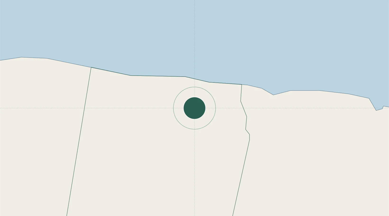
Location
Nearby Logistics Neighbours
Cities
- 1Wakefield18 km
- 2Priory35 km
- 3Saint Ann's Bay37 km
- 4Montego Bay41 km
- 5Rose Hall57 km
Ports
- 1Rio Bueno10 km
- 2Falmouth12 km
- 3Montego Bay41 km
- 4Ocho Rios46 km
- 5Port Kaiser63 km
Airports
Trade Zones
DatabookThe Record of Consolidated Knowledge
Jamaica beyond logistics?