UN/LOCODE hub · Jamaica
JMMBJ
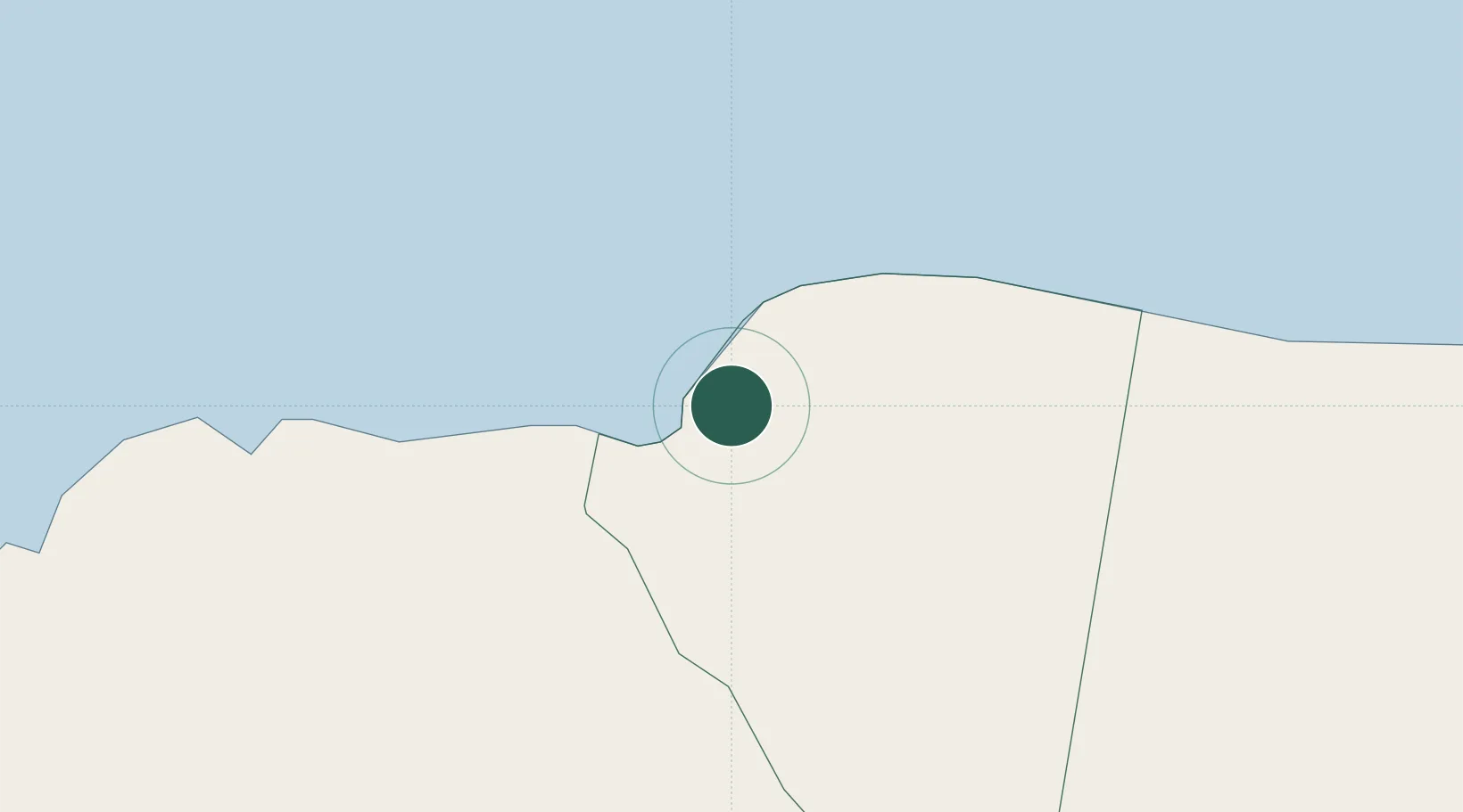
Montego Bay
18.4606°, -77.9355°
82,867
Population
2
Transport functions
1
Container terminals
Transport Functions
Port
Airport
Hub Profile
Place type
Regional capital
Region
Saint James Parish
Population
82,867
Time zone
America/Jamaica
Elevation
12 m
Logistics facilities
2
Container terminals
1
Location
Nearby Logistics Neighbours
Cities
- 1Wakefield24 km
- 2Savanna-la-Mar34 km
- 3Long Pond41 km
- 4Rose Hall66 km
- 5Priory76 km
Ports
- 1Lucea24 km
- 2Falmouth30 km
- 3Savannah La Mar36 km
- 4Rio Bueno50 km
- 5Port Kaiser75 km
Airports
Trade Zones
DatabookThe Record of Consolidated Knowledge
Jamaica beyond logistics?