Export Processing Zone · Jamaica

Cazoumar Free Zone Active
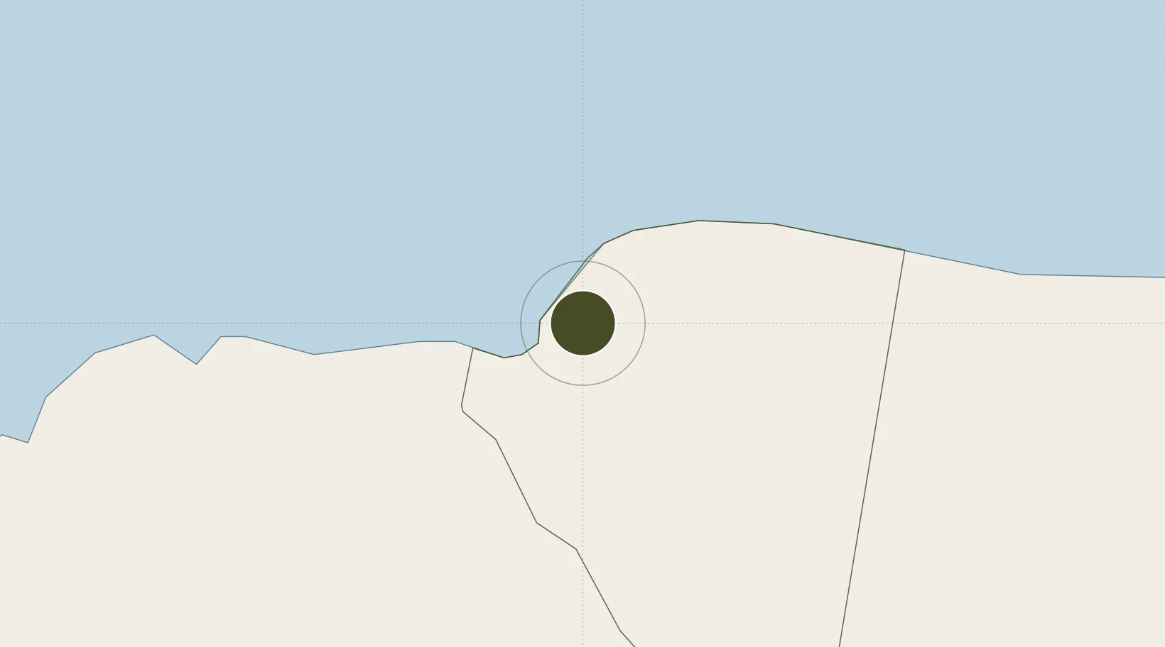
18.4622°, -77.9327°
12 ha
Zone area
0.5 km
Nearest port
5.0 km
Nearest airport

Gateway access

Nearest neighbours — logibook spatial index (haversine) over the source coordinates

Zone profile

Zone type
Export Processing Zone
Open Zone Map
Region
Saint James
Open Zone Map
Status
Active
Open Zone Map
Management
Private
Open Zone Map
Operator
Cazoumar Investments, LTD.
Open Zone Map
Legal framework
Special Economic Zones Act (2016)
Open Zone Map

Location

Location of ozm-2547
Natural Earth 10m (public domain) · Saint James · ozm-2547 · 18.46, -77.93GoogleOSMYandex

Nearby Logistics Neighbours

Ports
  1. 1Montego Bay1 km
  2. 2Lucea25 km
  3. 3Falmouth30 km
  4. 4Savannah La Mar36 km
  5. 5Rio Bueno49 km
Nearest neighbours — logibook spatial index (haversine) over the source coordinates
Airports
  1. 1Sangster International Airport5 km
  2. 2Ian Fleming International Airport102 km
  3. 3Tinson Pen Airport128 km
  4. 4Norman Manley International Airport134 km
  5. 5Ken Jones Airport151 km
Nearest neighbours — logibook spatial index (haversine) over the source coordinates
Cities
  1. 1Montego Bay0 km
  2. 2Wakefield23 km
  3. 3Savanna-la-Mar35 km
  4. 4Long Pond41 km
  5. 5Rose Hall66 km
Nearest neighbours — logibook spatial index (haversine) over the source coordinates
Trade Zones
  1. 1Montego Bay Free Zone0 km
  2. 2Jamaica-Gansu Industrial Park65 km
  3. 3Vernamfield Aerotropolis and Logistics Hub92 km
  4. 4Hayes Free Zone102 km
  5. 5Spanish Town Free Zone114 km
Nearest neighbours — logibook spatial index (haversine) over the source coordinates
DatabookThe Record of Consolidated Knowledge
Jamaica beyond logistics?
Browse databook

All Sources

Trade ZonesOpen Zone Map
CC BY
Portsthe NGA World Port Index
Public domain (US gov)
AirportsOurAirports
Public domain
LocationsUN/LOCODE
UN/LOCODE — free
← Jamaica trade zones