Special Economic Zone · Jamaica
Hayes Free Zone
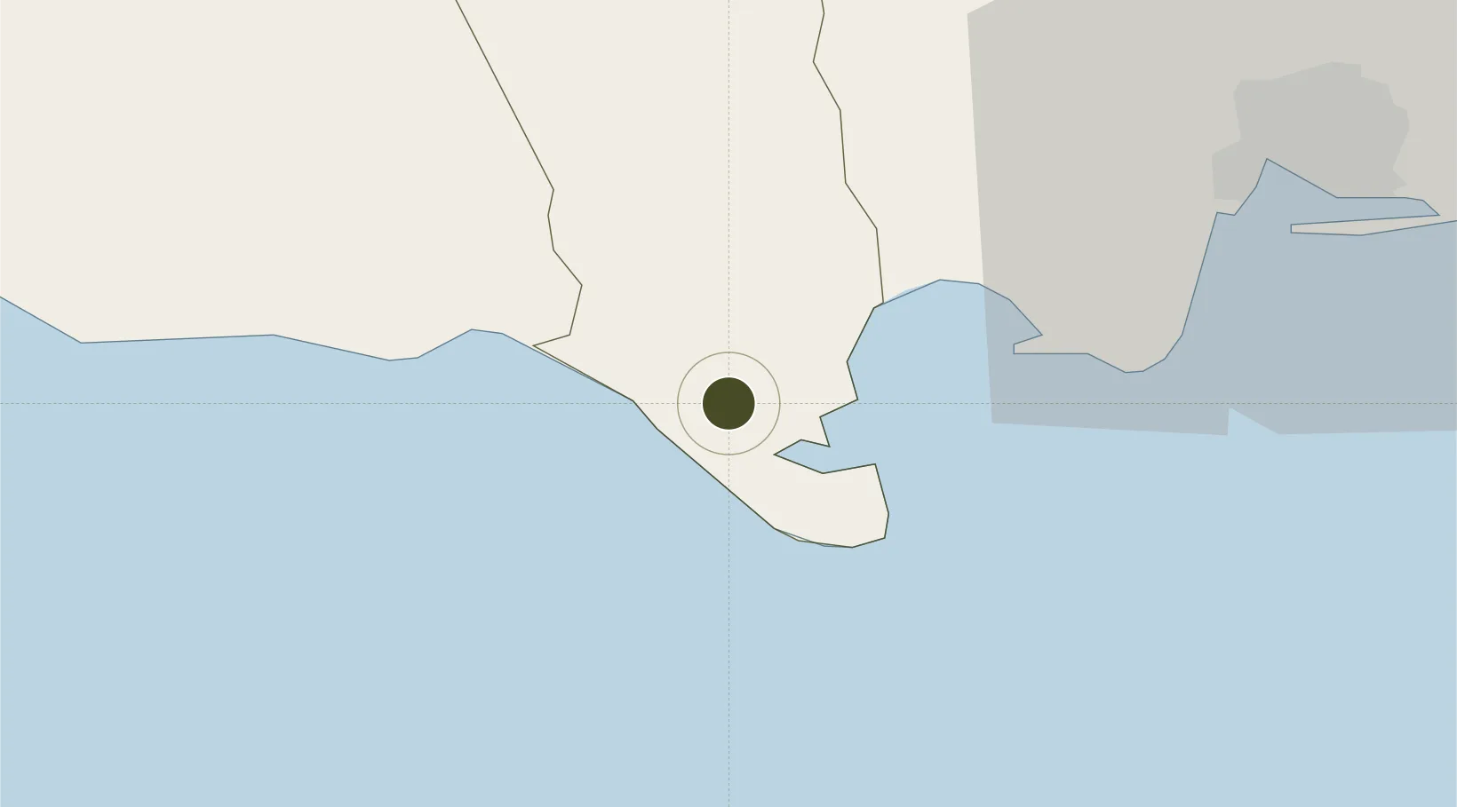
17.8100°, -77.2498°
18 ha
Zone area
10.6 km
Nearest port
49.3 km
Nearest airport
Gateway access
Zone profile
Zone type
Special Economic Zone
Region
Clarendon
Established
Under review
Management
Private management
Operator
Factories Corporation of Jamaica
Regulatory authority
Special Economic Zones Authority (SEZA)
Legal framework
Special Economic Zones Act
Location
Fiscal & incentives
Corporate tax
25%
Tax relief
Reduced fixed-rate at 12.5%
Relief duration
Perpetual
VAT
100% exempt from general consumptive tax on electricity or telecommunications
Import duty (inputs)
100% exempt
Import duty (capex)
100% exempt
Profit repatriation
No exemption
Capital gains
No exemption
Withholding tax
No exemption
Min. investment
None
Min. export
0%
Employment incentive
No exemption
Developer incentive
Yes
Nearby Logistics Neighbours
Ports
- 1Rocky Point11 km
- 2Port Esquivel15 km
- 3Port Kaiser38 km
- 4Kingston52 km
- 5Ocho Rios69 km
Airports
Cities
- 1Port Henderson42 km
- 2Rose Hall45 km
- 3Kingston49 km
- 4Vineyard54 km
- 5Saint Ann's Bay70 km
Trade Zones
DatabookThe Record of Consolidated Knowledge
Jamaica beyond logistics?