UN/LOCODE hub · Jamaica
JMSLM
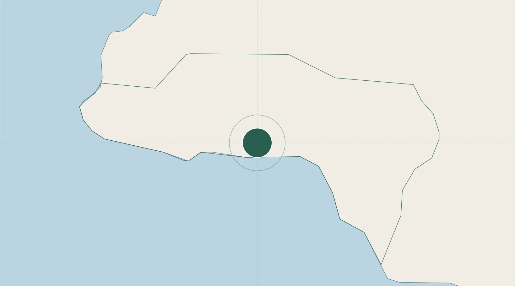
Savanna-la-Mar
18.2167°, -78.1333°
16,553
Population
1
Transport functions
Transport Functions
Port
Hub Profile
Place type
Regional capital
Region
Westmoreland
Population
16,553
Time zone
America/Jamaica
Elevation
7 m
Location
Nearby Logistics Neighbours
Cities
- 1Montego Bay34 km
- 2Wakefield49 km
- 3Rose Hall60 km
- 4Long Pond66 km
- 5Priory100 km
Ports
- 1Lucea26 km
- 2Montego Bay35 km
- 3Falmouth59 km
- 4Port Kaiser69 km
- 5Rio Bueno76 km
Airports
- 1Sangster International Airport39 km
- 2Ian Fleming International Airport125 km
- 3Tinson Pen Airport141 km
- 4Norman Manley International Airport146 km
- 5Ken Jones Airport169 km
Trade Zones
DatabookThe Record of Consolidated Knowledge
Jamaica beyond logistics?