Channel & Berth Profile
Pilotage, Tugs & Services
Shore powerYES
Potable waterYES
Diesel bunkersNO
MedicalYES
Facilities & Capabilities
Container—
Ro-Ro—
Liquid bulk—
Dry bulk—
Oil terminal—
Break bulkYES
Dry dock—
RepairsNO
BunkeringNO
Rail link—
Dangerous cargo—
ISPS security—
Harbour Specifications
Harbour size
Very Small
Harbour type
Coastal (Natural)
Shelter
Excellent
Water body
Denmark Strait; North Atlantic Ocean
Tidal range
3 m
Overhead limit
No
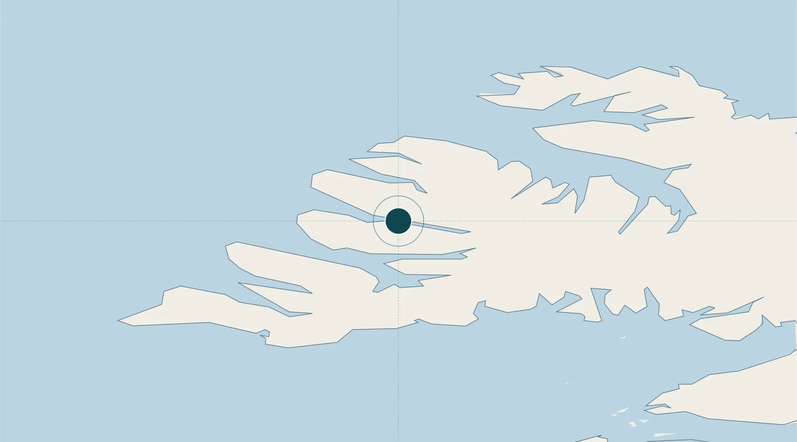
Location
Nearby Logistics Neighbours
Ports
- 1Bildudalur23 km
- 2Isafjordur26 km
- 3Bolungarvik34 km
- 4Patreksfjordur39 km
- 5Stykkisholmur95 km
Cities
- 1Bolungarvik30 km
- 2Brjánslækur41 km
- 3Flatey63 km
- 4Reykhólar76 km
- 5Ospakseyri106 km
Airports
- 1Ísafjörður Airport25 km
- 2Bildudalur Airport27 km
- 3Reykjavík Domestic Airport208 km
- 4Siglufjörður Airport209 km
- 5Keflavik International Airport215 km
Trade Zones
DatabookThe Record of Consolidated Knowledge
Iceland beyond logistics?