Seaport · Iceland

BolungarvikISBOL

66.1667°, -23.2333°
23.2 m
Channel depth
Bolungarvik is also a UN/LOCODE logistics hub →

Channel & Berth Profile

SEA LEVEL (CD)CHANNEL BEDCargo pier · 6.4 mAnchorage · 13.0 mChannel · 23.2 m
NGA World Port Index

Pilotage, Tugs & Services

Pilotage availableYES
Tug assistanceYES
MedicalYES
NGA World Port Index

Facilities & Capabilities

Container
Ro-Ro
Liquid bulk
Dry bulk
Oil terminal
Break bulk
Dry dock
RepairsNO
BunkeringYES
Rail link
Dangerous cargo
ISPS security
NGA World Port Index

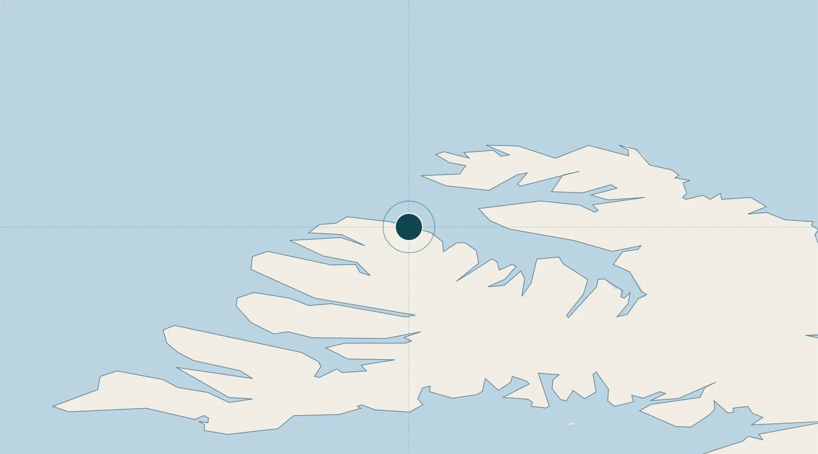
Harbour Specifications

Harbour size
Very Small
NGA World Port Index
Harbour type
Coastal (Breakwater)
NGA World Port Index
Shelter
Fair
NGA World Port Index
Water body
Denmark Strait; North Atlantic Ocean
NGA World Port Index

Location

Location of ISBOL
Natural Earth 10m (public domain) · Vestfirðir · ISBOL · 66.17, -23.23GoogleOSMYandex

Nearby Logistics Neighbours

Ports
  1. 1Isafjordur12 km
  2. 2Thingeyri34 km
  3. 3Bildudalur56 km
  4. 4Patreksfjordur72 km
  5. 5Stykkisholmur123 km
Nearest neighbours — logibook spatial index (haversine) over the source coordinates
Cities
  1. 1Brjánslækur70 km
  2. 2Flatey90 km
  3. 3Reykhólar93 km
  4. 4Ospakseyri114 km
  5. 5Budardalur135 km
Nearest neighbours — logibook spatial index (haversine) over the source coordinates
Airports
  1. 1Ísafjörður Airport13 km
  2. 2Bildudalur Airport60 km
  3. 3Siglufjörður Airport194 km
  4. 4Reykjavík Domestic Airport235 km
  5. 5Grímsey Airport236 km
Nearest neighbours — logibook spatial index (haversine) over the source coordinates
Trade Zones
  1. 1Prestwick Airport Free Zone1544 km
  2. 2Carlisle Kingmoor Park Enterprise Zone1654 km
  3. 3Isle of Man Free Zone and Business Park1679 km
  4. 4Shannon Free Zone1693 km
  5. 5Dublin International Financial Services Centre1701 km
Nearest neighbours — logibook spatial index (haversine) over the source coordinates
DatabookThe Record of Consolidated Knowledge
Iceland beyond logistics?
Browse databook

All Sources

Portsthe NGA World Port Index
Public domain (US gov)
AirportsOurAirports
Public domain
LocationsUN/LOCODE
UN/LOCODE — free
Trade Zonesthe World Bank SEZ database
CC BY 4.0
Trade ZonesOpen Zone Map
CC BY
← Iceland ports