Transport Functions
Port
Road
Airport
Hub Profile
Place type
Populated place
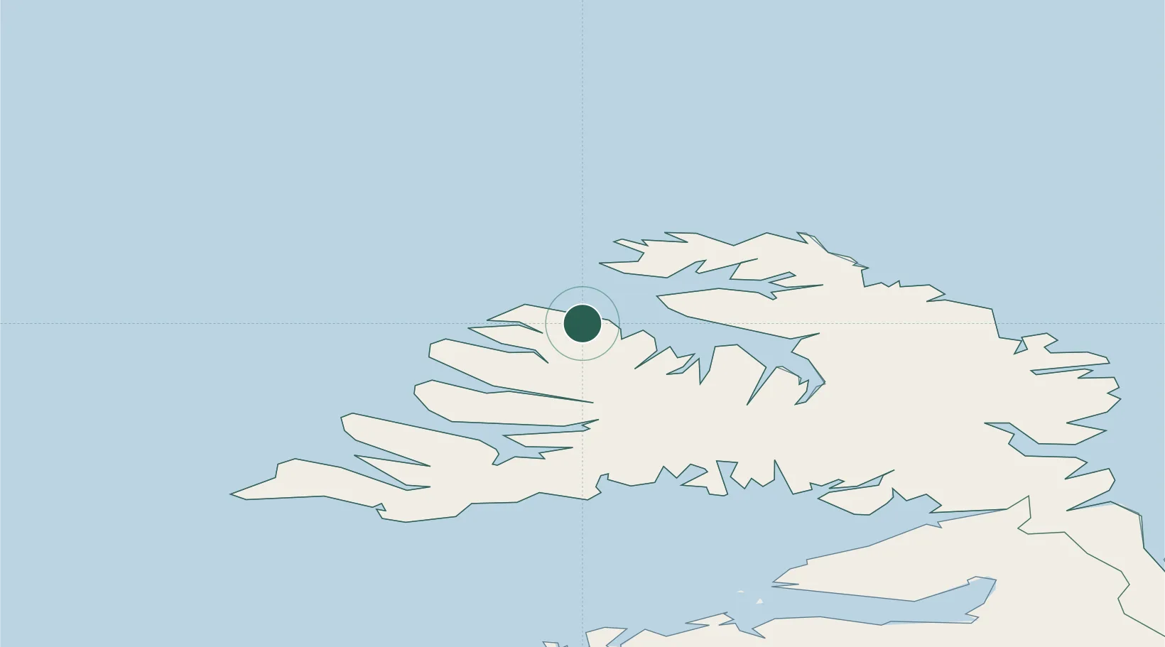
Region
Westfjords
Population
955
Time zone
Atlantic/Reykjavik
Location
Nearby Logistics Neighbours
Cities
- 1Brjánslækur67 km
- 2Flatey87 km
- 3Reykhólar90 km
- 4Ospakseyri112 km
- 5Budardalur132 km
Ports
- 1Isafjordur10 km
- 2Thingeyri30 km
- 3Bildudalur53 km
- 4Patreksfjordur68 km
- 5Stykkisholmur119 km
Airports
- 1Ísafjörður Airport10 km
- 2Bildudalur Airport56 km
- 3Siglufjörður Airport195 km
- 4Reykjavík Domestic Airport231 km
- 5Grímsey Airport238 km
Trade Zones
DatabookThe Record of Consolidated Knowledge
Iceland beyond logistics?