Transport Functions
Port
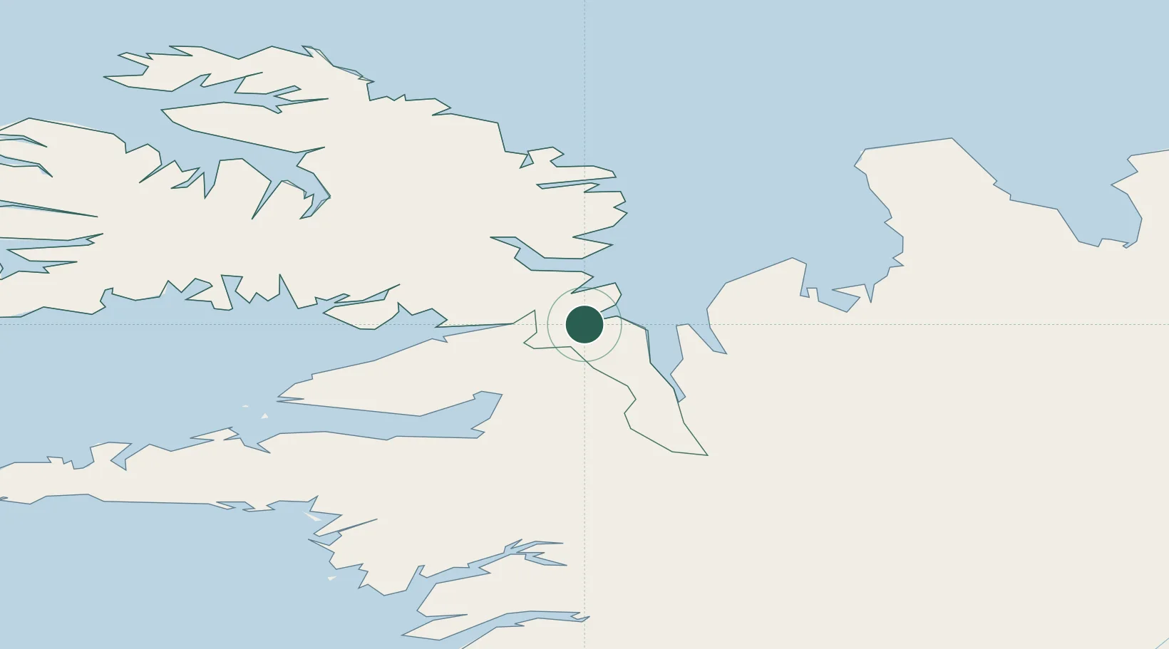
Location
Nearby Logistics Neighbours
Cities
- 1Reykhólar35 km
- 2Budardalur40 km
- 3Skagaströnd67 km
- 4Flatey70 km
- 5Brjánslækur82 km
Ports
- 1Hvammstangi23 km
- 2Skagastrond66 km
- 3Stykkisholmur73 km
- 4Saudarkrokur88 km
- 5Grundarfjordur102 km
Airports
- 1Bildudalur Airport100 km
- 2Ísafjörður Airport103 km
- 3Siglufjörður Airport138 km
- 4Reykjavík Domestic Airport149 km
- 5Akureyri International Airport156 km
Trade Zones
DatabookThe Record of Consolidated Knowledge
Iceland beyond logistics?