Seaport · Iceland

HvammstangiISHVM

65.4000°, -20.9500°

Channel & Berth Profile

SEA LEVEL (CD)CHANNEL BEDAnchorage · 13.0 m
NGA World Port Index

Pilotage, Tugs & Services

MedicalYES
NGA World Port Index

Facilities & Capabilities

Container
Ro-Ro
Liquid bulk
Dry bulk
Oil terminal
Break bulkYES
Dry dock
RepairsNO
Bunkering
Rail link
Dangerous cargo
ISPS security
NGA World Port Index

Harbour Specifications
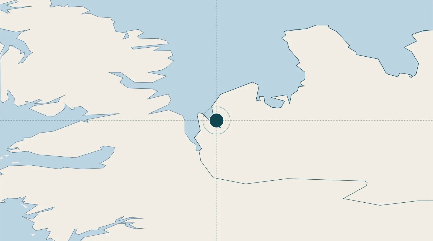
Water body
Greenland Sea; Arctic Ocean
NGA World Port Index

Location

Location of ISHVM
Natural Earth 10m (public domain) · Norðurland vestra · ISHVM · 65.40, -20.95GoogleOSMYandex

Nearby Logistics Neighbours

Ports
  1. 1Skagastrond55 km
  2. 2Saudarkrokur71 km
  3. 3Stykkisholmur90 km
  4. 4Borgarnes105 km
  5. 5Litlisandur116 km
Nearest neighbours — logibook spatial index (haversine) over the source coordinates
Cities
  1. 1Ospakseyri23 km
  2. 2Budardalur49 km
  3. 3Skagaströnd56 km
  4. 4Reykhólar58 km
  5. 5Hofsós89 km
Nearest neighbours — logibook spatial index (haversine) over the source coordinates
Airports
  1. 1Bildudalur Airport123 km
  2. 2Ísafjörður Airport124 km
  3. 3Siglufjörður Airport124 km
  4. 4Akureyri International Airport136 km
  5. 5Reykjavík Domestic Airport149 km
Nearest neighbours — logibook spatial index (haversine) over the source coordinates
Trade Zones
  1. 1Prestwick Airport Free Zone1410 km
  2. 2Carlisle Kingmoor Park Enterprise Zone1520 km
  3. 3Isle of Man Free Zone and Business Park1545 km
  4. 4Shannon Free Zone1565 km
  5. 5Dublin International Financial Services Centre1569 km
Nearest neighbours — logibook spatial index (haversine) over the source coordinates
DatabookThe Record of Consolidated Knowledge
Iceland beyond logistics?
Browse databook

All Sources

Portsthe NGA World Port Index
Public domain (US gov)
AirportsOurAirports
Public domain
LocationsUN/LOCODE
UN/LOCODE — free
Trade Zonesthe World Bank SEZ database
CC BY 4.0
Trade ZonesOpen Zone Map
CC BY
← Iceland ports