Seaport · Iceland

SkagastrondISSKA

65.8167°, -20.3167°
Skagastrond is also a UN/LOCODE logistics hub →

Channel & Berth Profile

SEA LEVEL (CD)CHANNEL BEDAnchorage · 13.0 m
NGA World Port Index

Pilotage, Tugs & Services

Potable waterYES
Diesel bunkersYES
MedicalYES
NGA World Port Index

Facilities & Capabilities

Container
Ro-Ro
Liquid bulk
Dry bulk
Oil terminal
Break bulk
Dry dock
RepairsNO
BunkeringYES
Rail link
Dangerous cargo
ISPS security
NGA World Port Index

Harbour Specifications
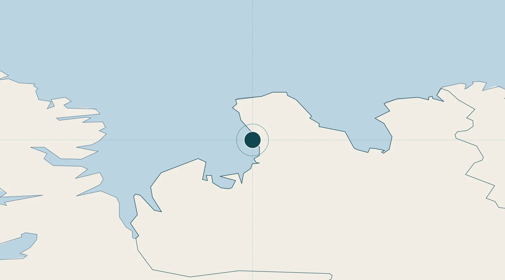
Water body
Greenland Sea; Arctic Ocean
NGA World Port Index

Location

Location of ISSKA
Natural Earth 10m (public domain) · Norðurland vestra · ISSKA · 65.82, -20.32GoogleOSMYandex

Nearby Logistics Neighbours

Ports
  1. 1Saudarkrokur31 km
  2. 2Hvammstangi55 km
  3. 3Siglufjorhurd73 km
  4. 4Olafsfjordur81 km
  5. 5Dalvik84 km
Nearest neighbours — logibook spatial index (haversine) over the source coordinates
Cities
  1. 1Hofsós41 km
  2. 2Ospakseyri66 km
  3. 3Dalvík83 km
  4. 4Arskogssandur90 km
  5. 5Reykhólar96 km
Nearest neighbours — logibook spatial index (haversine) over the source coordinates
Airports
  1. 1Siglufjörður Airport73 km
  2. 2Akureyri International Airport104 km
  3. 3Ísafjörður Airport131 km
  4. 4Grímsey Airport131 km
  5. 5Húsavík Airport132 km
Nearest neighbours — logibook spatial index (haversine) over the source coordinates
Trade Zones
  1. 1Prestwick Airport Free Zone1422 km
  2. 2Carlisle Kingmoor Park Enterprise Zone1530 km
  3. 3Isle of Man Free Zone and Business Park1560 km
  4. 4Dublin International Financial Services Centre1588 km
  5. 5Shannon Free Zone1590 km
Nearest neighbours — logibook spatial index (haversine) over the source coordinates
DatabookThe Record of Consolidated Knowledge
Iceland beyond logistics?
Browse databook

All Sources

Portsthe NGA World Port Index
Public domain (US gov)
AirportsOurAirports
Public domain
LocationsUN/LOCODE
UN/LOCODE — free
Trade Zonesthe World Bank SEZ database
CC BY 4.0
Trade ZonesOpen Zone Map
CC BY
← Iceland ports