Seaport · Iceland
SaudarkrokurISSAU
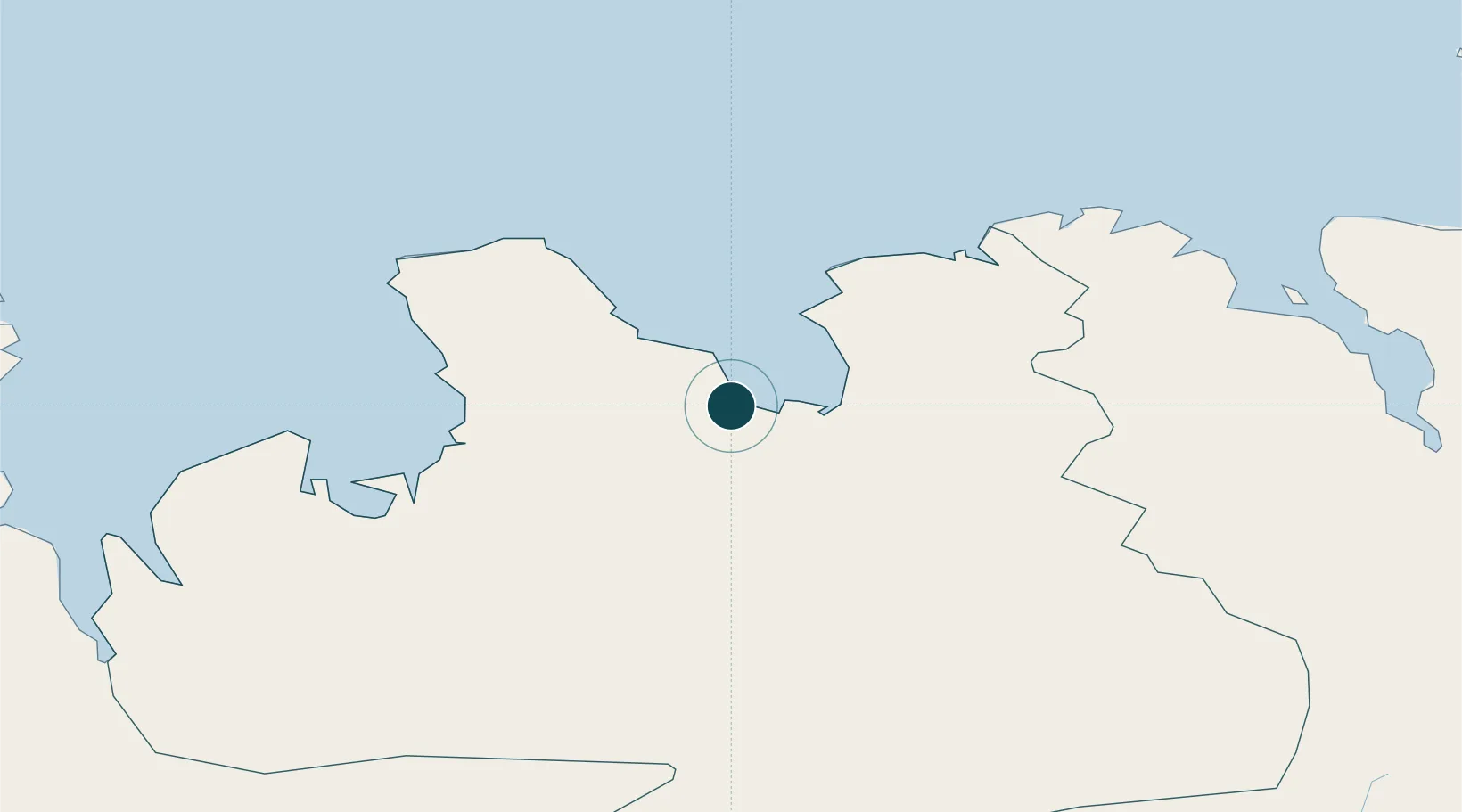
65.7500°, -19.6667°
23.2 m
Channel depth
12.3
Port liner connectivity
Channel & Berth Profile
Pilotage, Tugs & Services
Pilotage compulsoryYES
Pilotage availableYES
Tug assistanceNO
Salvage tugsNO
Diesel bunkersNO
MedicalYES
Facilities & Capabilities
Container—
Ro-Ro—
Liquid bulk—
Dry bulk—
Oil terminal—
Break bulkYES
Dry dock—
Repairs—
BunkeringNO
Rail link—
Dangerous cargo—
ISPS securityYES
Harbour Specifications
Harbour size
Very Small
Harbour type
Coastal (Natural)
Shelter
Poor
Water body
Greenland Sea; Arctic Ocean
Tidal range
1.2 m
Overhead limit
No
Pilotage
Yes
Liner Connectivity
12.3
PLSCI
Port Liner Shipping Connectivity Index for Saudarkrokur, as published by UNCTAD for the latest available quarter. Higher values indicate stronger scheduled liner-shipping integration.
Shown relative to the highest per-port PLSCI in the dataset (1,657.9).
Location
Nearby Logistics Neighbours
Ports
- 1Skagastrond31 km
- 2Siglufjorhurd56 km
- 3Olafsfjordur58 km
- 4Dalvik58 km
- 5Hvammstangi71 km
Cities
- 1Hofsós20 km
- 2Skagaströnd31 km
- 3Dalvík57 km
- 4Arskogssandur63 km
- 5Grenivík71 km
Airports
- 1Siglufjörður Airport55 km
- 2Akureyri International Airport74 km
- 3Húsavík Airport104 km
- 4Grímsey Airport116 km
- 5Mývatn Airport126 km
Trade Zones
DatabookThe Record of Consolidated Knowledge
Iceland beyond logistics?