Transport Functions
Port
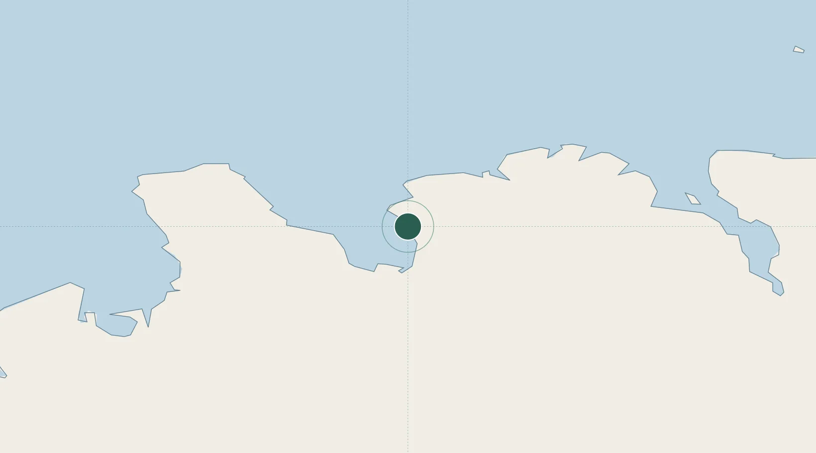
Hub Profile
Place type
Populated place
Region
Northwest
Population
181
Time zone
Atlantic/Reykjavik
Elevation
20 m
Location
Nearby Logistics Neighbours
Cities
- 1Skagaströnd41 km
- 2Dalvík42 km
- 3Arskogssandur49 km
- 4Grenivík57 km
- 5Akureyri66 km
Ports
- 1Saudarkrokur20 km
- 2Siglufjorhurd36 km
- 3Olafsfjordur40 km
- 4Skagastrond41 km
- 5Dalvik43 km
Airports
- 1Siglufjörður Airport36 km
- 2Akureyri International Airport68 km
- 3Húsavík Airport91 km
- 4Grímsey Airport96 km
- 5Mývatn Airport118 km
Trade Zones
DatabookThe Record of Consolidated Knowledge
Iceland beyond logistics?