Transport Functions
Port
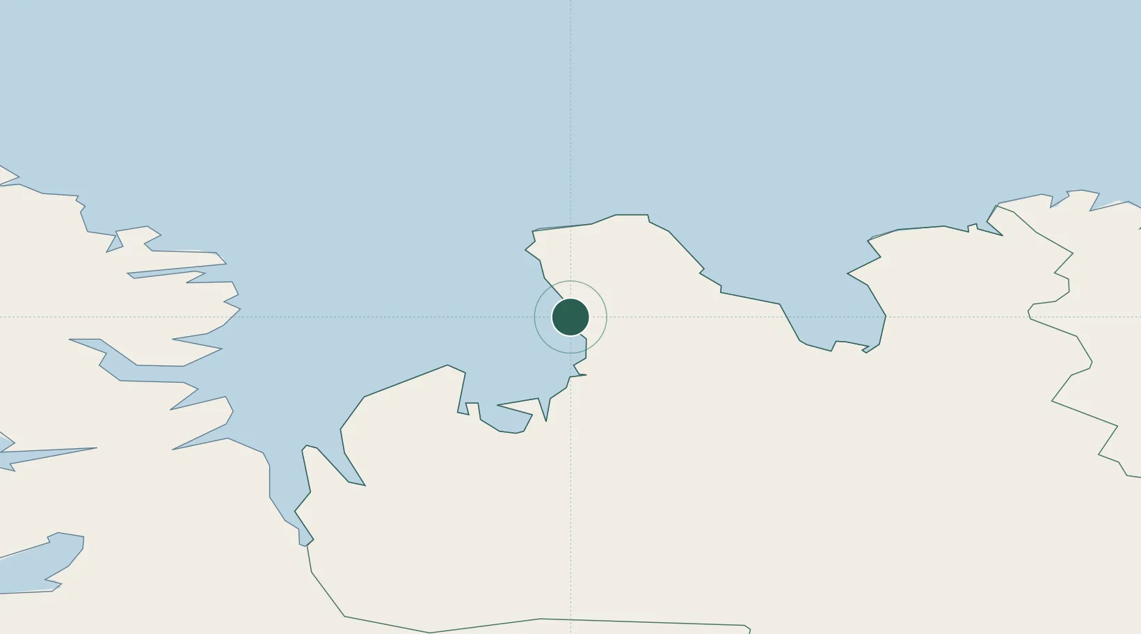
Location
Nearby Logistics Neighbours
Cities
- 1Hofsós41 km
- 2Ospakseyri67 km
- 3Dalvík82 km
- 4Arskogssandur89 km
- 5Reykhólar96 km
Ports
- 1Saudarkrokur31 km
- 2Hvammstangi56 km
- 3Siglufjorhurd73 km
- 4Olafsfjordur80 km
- 5Dalvik83 km
Airports
- 1Siglufjörður Airport72 km
- 2Akureyri International Airport104 km
- 3Grímsey Airport130 km
- 4Ísafjörður Airport130 km
- 5Húsavík Airport132 km
Trade Zones
DatabookThe Record of Consolidated Knowledge
Iceland beyond logistics?