Seaport · Iceland
GrundartangiISGRT
64.2667°, -22.0000°
12.5 m
Channel depth
1
Container terminals
15.2
Port liner connectivity
Channel & Berth Profile
Pilotage, Tugs & Services
Pilotage compulsoryYES
Pilotage availableYES
Tug assistanceYES
Potable waterYES
Diesel bunkersYES
Garbage disposalYES
Facilities & Capabilities
Container—
Ro-Ro—
Liquid bulk—
Dry bulk—
Oil terminal—
Break bulk—
Dry dock—
RepairsNO
BunkeringYES
Rail link—
Dangerous cargo—
ISPS security—
Harbour Specifications
Harbour size
Medium
Harbour type
Coastal (Breakwater)
Shelter
Good
Water body
North Atlantic Ocean
Tidal range
5 m
Pilotage
Yes
Liner Connectivity
15.2
PLSCI
Port Liner Shipping Connectivity Index for Grundartangi, as published by UNCTAD for the latest available quarter. Higher values indicate stronger scheduled liner-shipping integration.
Shown relative to the highest per-port PLSCI in the dataset (1,657.9).
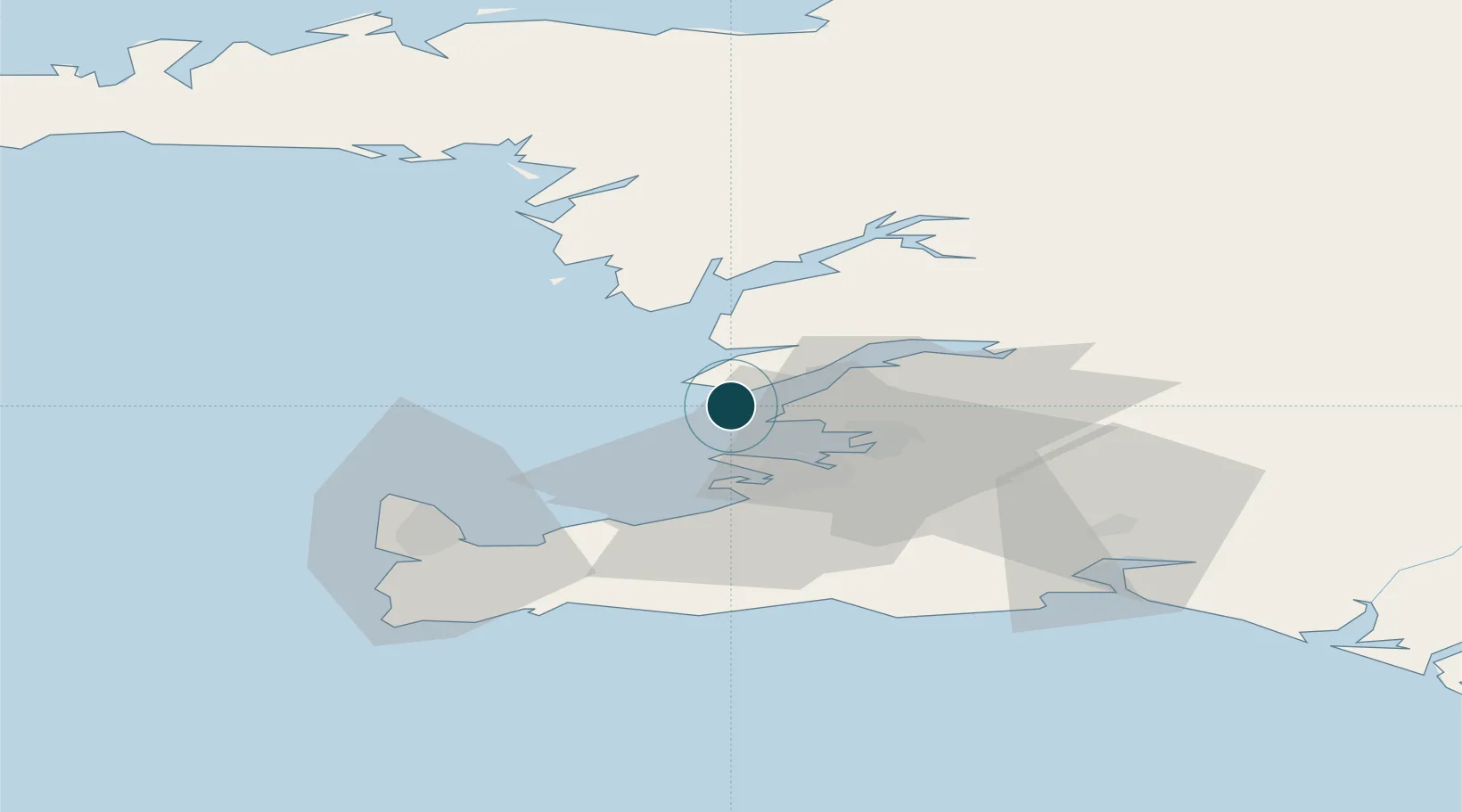
Location
Container Terminals · 1
GRUNDARTANGI TERMINAL
GRT FAXAFLOAHAFNIR SF. (ASSOCIATED ICELANDIC PORTS)
Nearby Logistics Neighbours
Ports
- 1Skerjafjordur13 km
- 2Reykjavik13 km
- 3Kopavogur17 km
- 4Hafnarfjordur22 km
- 5Straumsvik24 km
Cities
- 1Reykjavík16 km
- 2Mosfellsbaer18 km
- 3Kópavogur19 km
- 4Litli Sandur30 km
- 5Vogar37 km
Airports
- 1Reykjavík Domestic Airport16 km
- 2Keflavik International Airport43 km
- 3Vestmannaeyjar Airport126 km
- 4Bildudalur Airport169 km
- 5Ísafjörður Airport206 km
Trade Zones
DatabookThe Record of Consolidated Knowledge
Iceland beyond logistics?