Transport Functions
Port
Hub Profile
Place type
Populated place
Region
Southern Peninsula
Population
1,029
Time zone
Atlantic/Reykjavik
Elevation
7 m
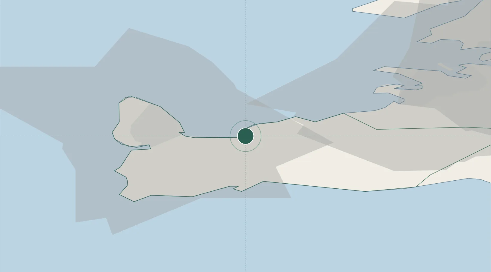
Location
Nearby Logistics Neighbours
Ports
- 1Keflavik8 km
- 2Helguvik9 km
- 3Grindavik17 km
- 4Sandgerdi17 km
- 5Straumsvik18 km
Airports
- 1Keflavik International Airport11 km
- 2Reykjavík Domestic Airport27 km
- 3Vestmannaeyjar Airport121 km
- 4Bildudalur Airport192 km
- 5Ísafjörður Airport233 km
Trade Zones
DatabookThe Record of Consolidated Knowledge
Iceland beyond logistics?