Transport Functions
Port
Road
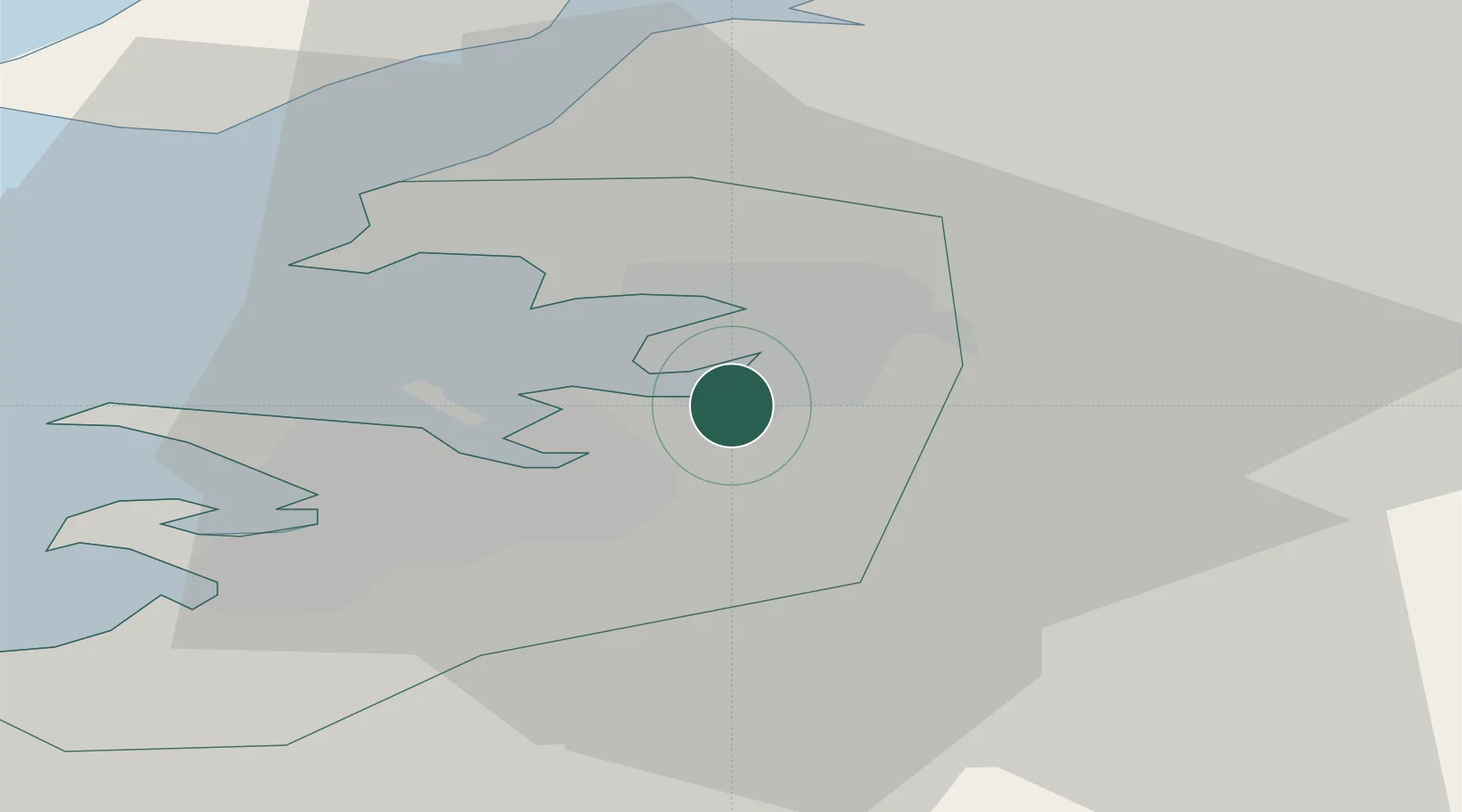
Hub Profile
Place type
Populated place
Region
Capital Region
Population
12,073
Time zone
Atlantic/Reykjavik
Elevation
22 m
Location
Nearby Logistics Neighbours
Cities
- 1Reykjavík7 km
- 2Kópavogur12 km
- 3Grundartangi21 km
- 4Litli Sandur29 km
- 5Vogar38 km
Ports
- 1Reykjavik11 km
- 2Kopavogur13 km
- 3Skerjafjordur15 km
- 4Hafnarfjordur16 km
- 5Grundartangi18 km
Airports
- 1Reykjavík Domestic Airport12 km
- 2Keflavik International Airport48 km
- 3Vestmannaeyjar Airport109 km
- 4Bildudalur Airport185 km
- 5Ísafjörður Airport221 km
Trade Zones
DatabookThe Record of Consolidated Knowledge
Iceland beyond logistics?