Transport Functions
Port
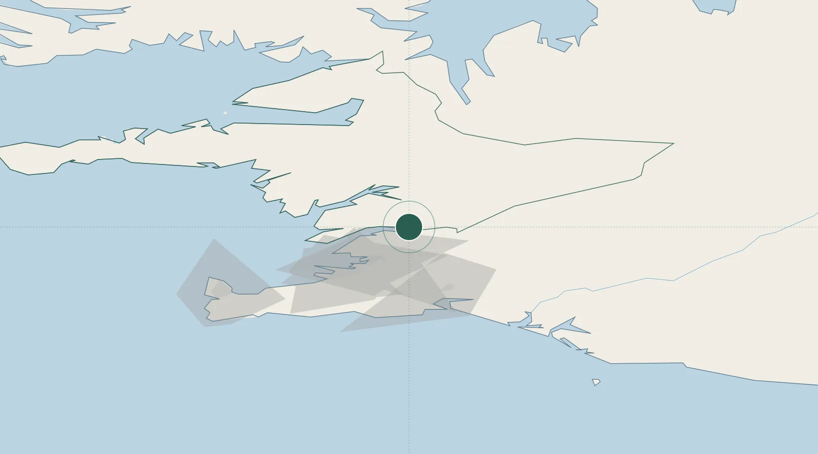
Location
Nearby Logistics Neighbours
Cities
- 1Grundartangi17 km
- 2Mosfellsbaer29 km
- 3Reykjavík35 km
- 4Kópavogur40 km
- 5Vogar65 km
Ports
- 1Borgarnes28 km
- 2Grundartangi30 km
- 3Reykjavik36 km
- 4Skerjafjordur39 km
- 5Kopavogur40 km
Airports
- 1Reykjavík Domestic Airport38 km
- 2Keflavik International Airport73 km
- 3Vestmannaeyjar Airport123 km
- 4Bildudalur Airport170 km
- 5Ísafjörður Airport200 km
Trade Zones
DatabookThe Record of Consolidated Knowledge
Iceland beyond logistics?