UN/LOCODE hub · Iceland
ISREY
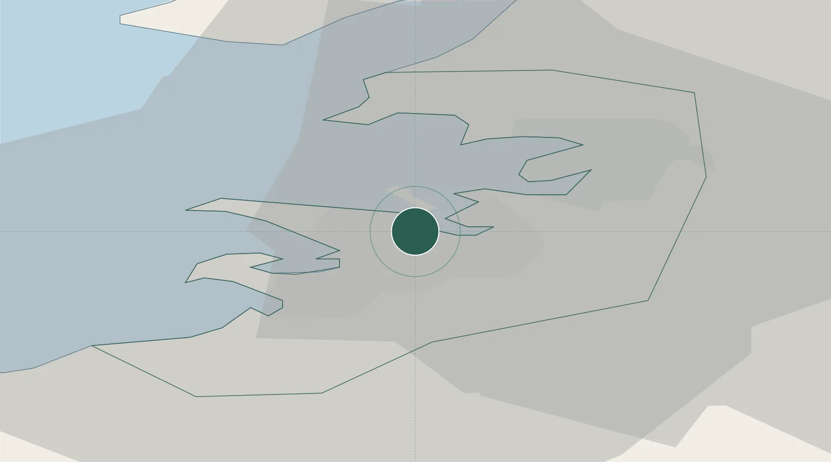
Reykjavík
64.1401°, -21.8513°
118,918
Population
1
Transport functions
2
Container terminals
Transport Functions
Port
Hub Profile
Place type
National capital
Region
Capital Region
Population
118,918
Time zone
Atlantic/Reykjavik
Elevation
37 m
Logistics facilities
4
Container terminals
2
Location
Nearby Logistics Neighbours
Cities
- 1Kópavogur6 km
- 2Mosfellsbaer7 km
- 3Grundartangi24 km
- 4Vogar31 km
- 5Litli Sandur35 km
Ports
- 1Kopavogur6 km
- 2Skerjafjordur8 km
- 3Hafnarfjordur10 km
- 4Straumsvik14 km
- 5Grundartangi16 km
Airports
- 1Reykjavík Domestic Airport4 km
- 2Keflavik International Airport41 km
- 3Vestmannaeyjar Airport111 km
- 4Bildudalur Airport185 km
- 5Ísafjörður Airport222 km
Trade Zones
DatabookThe Record of Consolidated Knowledge
Iceland beyond logistics?