Seaport · Iceland

StraumsvikISSTR

64.0500°, -22.0500°
11.2
Port liner connectivity

Channel & Berth Profile

SEA LEVEL (CD)CHANNEL BEDAnchorage · 23.2 m
NGA World Port Index

Pilotage, Tugs & Services

Pilotage availableYES
MedicalYES
NGA World Port Index

Facilities & Capabilities

Container
Ro-Ro
Liquid bulk
Dry bulk
Oil terminal
Break bulk
Dry dock
Repairs
Bunkering
Rail link
Dangerous cargo
ISPS security
NGA World Port Index

Harbour Specifications

Harbour size
Very Small
NGA World Port Index
Harbour type
Coastal (Natural)
NGA World Port Index
Shelter
Fair
NGA World Port Index
Water body
North Atlantic Ocean
NGA World Port Index
Overhead limit
No
NGA World Port Index

Liner Connectivity

11.2
PLSCI

Port Liner Shipping Connectivity Index for Straumsvik, as published by UNCTAD for the latest available quarter. Higher values indicate stronger scheduled liner-shipping integration.

Shown relative to the highest per-port PLSCI in the dataset (1,657.9).
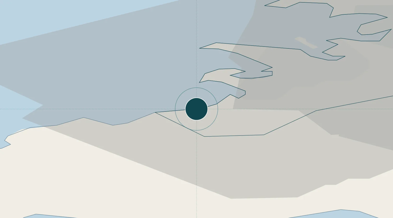
UNCTAD · Port Liner Shipping Connectivity Index

Location

Location of ISSTR
Natural Earth 10m (public domain) · Reykjavík · ISSTR · 64.05, -22.05GoogleOSMYandex

Nearby Logistics Neighbours

Ports
  1. 1Hafnarfjordur5 km
  2. 2Kopavogur9 km
  3. 3Skerjafjordur11 km
  4. 4Reykjavik13 km
  5. 5Grundartangi24 km
Nearest neighbours — logibook spatial index (haversine) over the source coordinates
Cities
  1. 1Kópavogur9 km
  2. 2Reykjavík14 km
  3. 3Vogar18 km
  4. 4Mosfellsbaer21 km
  5. 5Helguvik24 km
Nearest neighbours — logibook spatial index (haversine) over the source coordinates
Airports
  1. 1Reykjavík Domestic Airport10 km
  2. 2Keflavik International Airport28 km
  3. 3Vestmannaeyjar Airport112 km
  4. 4Bildudalur Airport191 km
  5. 5Ísafjörður Airport229 km
Nearest neighbours — logibook spatial index (haversine) over the source coordinates
Trade Zones
  1. 1Prestwick Airport Free Zone1353 km
  2. 2Carlisle Kingmoor Park Enterprise Zone1469 km
  3. 3Shannon Free Zone1470 km
  4. 4Isle of Man Free Zone and Business Park1480 km
  5. 5Dublin International Financial Services Centre1491 km
Nearest neighbours — logibook spatial index (haversine) over the source coordinates
DatabookThe Record of Consolidated Knowledge
Iceland beyond logistics?
Browse databook

All Sources

Portsthe NGA World Port Index
Public domain (US gov)
Logistics performanceUNCTAD
CC BY 3.0 IGO
AirportsOurAirports
Public domain
LocationsUN/LOCODE
UN/LOCODE — free
Trade Zonesthe World Bank SEZ database
CC BY 4.0
Trade ZonesOpen Zone Map
CC BY
← Iceland ports