Transport Functions
Port
Hub Profile
Place type
Populated place
Region
Capital Region
Population
37,959
Time zone
Atlantic/Reykjavik
Elevation
37 m
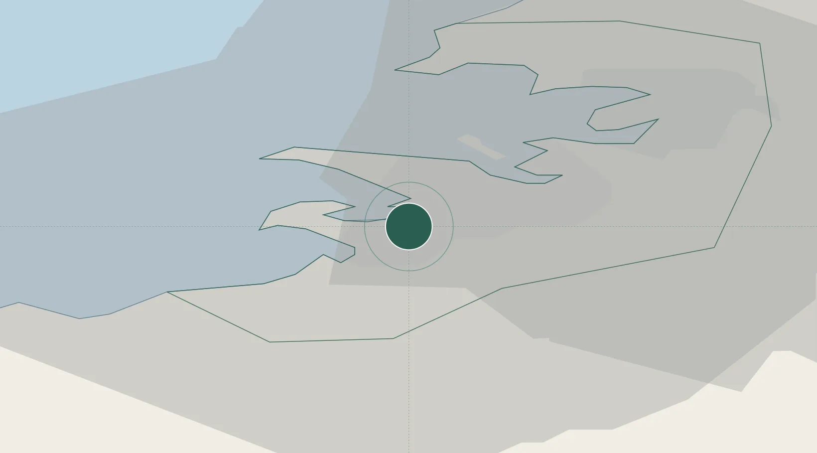
Location
Nearby Logistics Neighbours
Cities
- 1Reykjavík6 km
- 2Mosfellsbaer12 km
- 3Vogar26 km
- 4Grundartangi29 km
- 5Helguvik32 km
Ports
- 1Hafnarfjordur4 km
- 2Reykjavik6 km
- 3Skerjafjordur7 km
- 4Straumsvik9 km
- 5Grundartangi19 km
Airports
- 1Reykjavík Domestic Airport3 km
- 2Keflavik International Airport36 km
- 3Vestmannaeyjar Airport110 km
- 4Bildudalur Airport188 km
- 5Ísafjörður Airport225 km
Trade Zones
DatabookThe Record of Consolidated Knowledge
Iceland beyond logistics?