Seaport · Iceland

SkerjafjordurISKJF

64.1500°, -22.0167°
6.4 m
Channel depth

Channel & Berth Profile

SEA LEVEL (CD)CHANNEL BEDCargo pier · 1.8 mChannel · 6.4 mAnchorage · 6.4 mOil terminal · 6.4 m
NGA World Port Index

Pilotage, Tugs & Services

Pilotage compulsoryYES
Pilotage availableYES
Tug assistanceYES
Potable waterYES
Diesel bunkersYES
MedicalYES
NGA World Port Index

Facilities & Capabilities

Container
Ro-Ro
Liquid bulk
Dry bulk
Oil terminal
Break bulk
Dry dock
RepairsNO
BunkeringYES
Rail link
Dangerous cargo
ISPS security
NGA World Port Index

Harbour Specifications

Harbour size
Very Small
NGA World Port Index
Harbour type
Coastal (Natural)
NGA World Port Index
Shelter
Good
NGA World Port Index
Water body
North Atlantic Ocean
NGA World Port Index
Tidal range
4 m
NGA World Port Index
Pilotage
Yes
NGA World Port Index

Location

Location of ISKJF
Natural Earth 10m (public domain) · Reykjavík · ISKJF · 64.15, -22.02GoogleOSMYandex

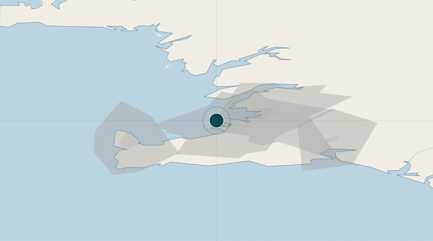
Nearby Logistics Neighbours

Ports
  1. 1Reykjavik4 km
  2. 2Kopavogur5 km
  3. 3Hafnarfjordur10 km
  4. 4Straumsvik11 km
  5. 5Grundartangi13 km
Nearest neighbours — logibook spatial index (haversine) over the source coordinates
Cities
  1. 1Kópavogur7 km
  2. 2Reykjavík8 km
  3. 3Mosfellsbaer15 km
  4. 4Grundartangi26 km
  5. 5Vogar26 km
Nearest neighbours — logibook spatial index (haversine) over the source coordinates
Airports
  1. 1Reykjavík Domestic Airport5 km
  2. 2Keflavik International Airport34 km
  3. 3Vestmannaeyjar Airport118 km
  4. 4Bildudalur Airport181 km
  5. 5Ísafjörður Airport219 km
Nearest neighbours — logibook spatial index (haversine) over the source coordinates
Trade Zones
  1. 1Prestwick Airport Free Zone1359 km
  2. 2Carlisle Kingmoor Park Enterprise Zone1474 km
  3. 3Shannon Free Zone1478 km
  4. 4Isle of Man Free Zone and Business Park1485 km
  5. 5Dublin International Financial Services Centre1498 km
Nearest neighbours — logibook spatial index (haversine) over the source coordinates
DatabookThe Record of Consolidated Knowledge
Iceland beyond logistics?
Browse databook

All Sources

Portsthe NGA World Port Index
Public domain (US gov)
AirportsOurAirports
Public domain
LocationsUN/LOCODE
UN/LOCODE — free
Trade Zonesthe World Bank SEZ database
CC BY 4.0
Trade ZonesOpen Zone Map
CC BY
← Iceland ports