UN/LOCODE hub · India
INPAV

Pipavav (Victor) Port

20.4647°, 71.8979°
3
Transport functions

Transport Functions

Port
Rail
Road
Pipavav (Victor) Port is also a profiled seaport →
UN/LOCODE

Hub Profile

Region
GJ
GeoNames
Logistics facilities
8
UN/LOCODE

Location

Location of INPAV
Natural Earth 10m (public domain) · GJ · INPAV · 20.46, 71.90GoogleOSMYandex

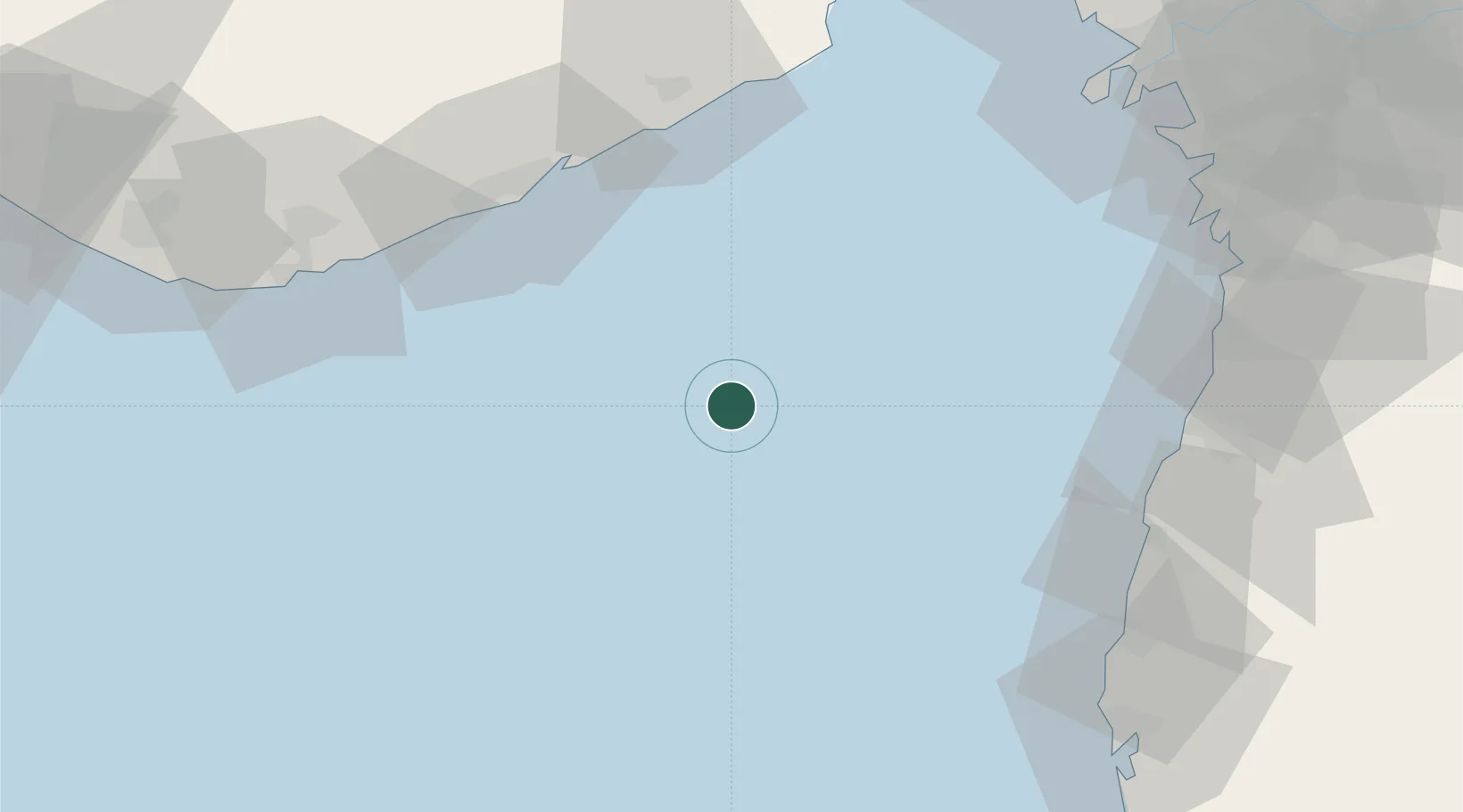
Nearby Logistics Neighbours

Cities
  1. 1Port Pipavav65 km
  2. 2Rajula68 km
  3. 3Jafarabad70 km
  4. 4Gandhar103 km
  5. 5NAVKAR ICD/Umbergaon107 km
Nearest neighbours — logibook spatial index (haversine) over the source coordinates
Ports
  1. 1Jafarabad70 km
  2. 2Hazira103 km
  3. 3Magdalla117 km
  4. 4Bhavnagar149 km
  5. 5Dahej152 km
Nearest neighbours — logibook spatial index (haversine) over the source coordinates
Airports
  1. 1Daman Airport99 km
  2. 2Diu Airport105 km
  3. 3Surat International Airport114 km
  4. 4Bhavnagar Airport146 km
  5. 5Chhatrapati Shivaji Maharaj International Airport184 km
Nearest neighbours — logibook spatial index (haversine) over the source coordinates
Trade Zones
  1. 1Gujarat Hira Bourse119 km
  2. 2Surat Special Economic Zone122 km
  3. 3Surat Apparel Park124 km
  4. 4Dahej SEZ Ltd.156 km
  5. 5HBS Pharma SEZ Private Limited, Bharuch163 km
Nearest neighbours — logibook spatial index (haversine) over the source coordinates
DatabookThe Record of Consolidated Knowledge
India beyond logistics?
Browse databook

All Sources

LocationsUN/LOCODE
UN/LOCODE — free
Portsthe NGA World Port Index
Public domain (US gov)
AirportsOurAirports
Public domain
Trade Zonesthe World Bank SEZ database
CC BY 4.0
Trade ZonesOpen Zone Map
CC BY
← India locations