Medium airport · India
Daman AirportVADN
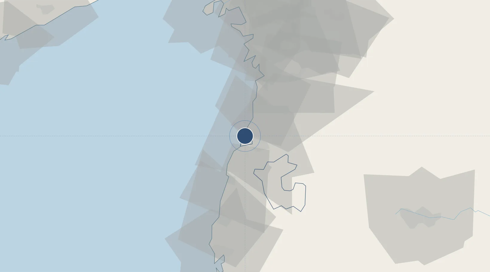
20.4344°, 72.8432°
5,909 ft
Longest runway
2
Runways
33 ft
Elevation
Runway & Layout

Radio Frequencies
APP
118.7 MHz
TWR APP
Runways · 2
| Runway | Dimensions | Surface | True heading | Lit |
|---|---|---|---|---|
| 03/21 | 5,909 × 150ft | Asphalt | 025° | ✓ |
| 09/27 | 3,282 × 80ft | Asphalt | 094° | — |
Airport Specifications
IATA code
NMB
ICAO code
VADN
Airport class
Medium airport
Scheduled service
No
Runway surface
Asphalt
Served city
Daman
Location
Nearby Logistics Neighbours
Airports
Cities
- 1Vapi13 km
- 2NAVKAR ICD/Umbergaon22 km
- 3Sachin (Surat)72 km
- 4Tarapur73 km
- 5Gandhar75 km
Ports
- 1Hazira75 km
- 2Magdalla80 km
- 3Dahej144 km
- 4Pipavav Bandar148 km
- 5Jafarabad159 km
Trade Zones
DatabookThe Record of Consolidated Knowledge
India beyond logistics?