Specialized Zone · India

Surat Apparel Park Active
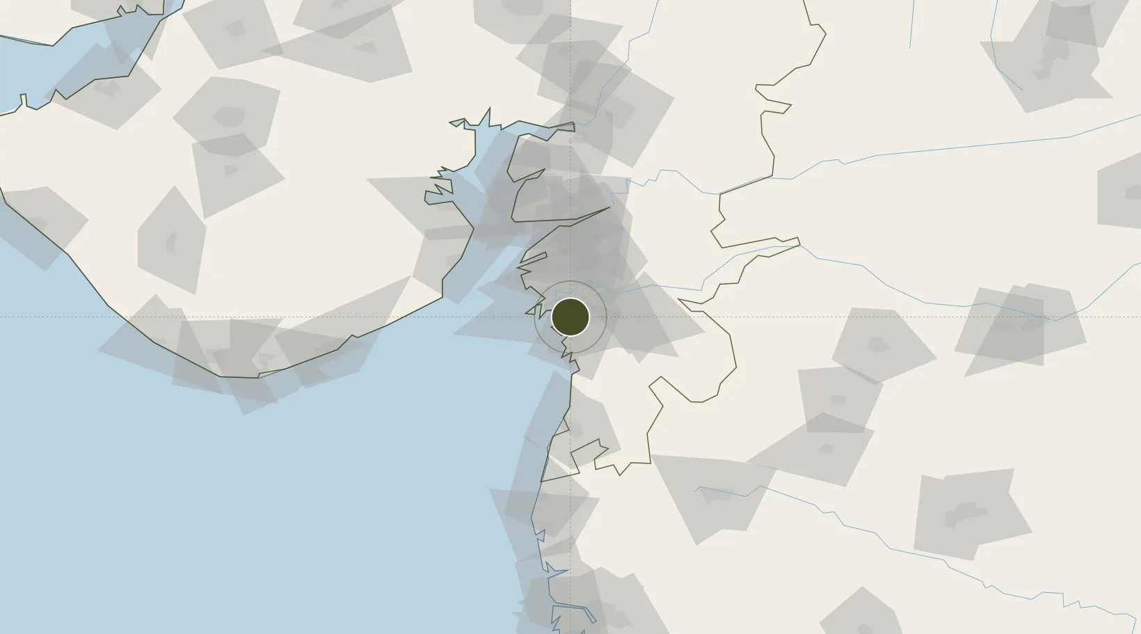
21.0841°, 72.8910°
22 ha
Zone area
16.4 km
Nearest port
15.7 km
Nearest airport

Gateway access

Nearest neighbours — logibook spatial index (haversine) over the source coordinates

Zone profile

Zone type
Specialized Zone
Open Zone Map
Specialization
Textiles
Open Zone Map
Region
Gujarat
Open Zone Map
Status
Active
Open Zone Map
Management
Public-Private Partnership
Open Zone Map
Operator
the Union textile ministry and the Gujarat government.
Open Zone Map
Legal framework
Gujarat Special Economic Zone ACT, 2004., The Special Economic Zones Act, 2005
Open Zone Map

Location

Location of ozm-2323
Natural Earth 10m (public domain) · Gujarat · ozm-2323 · 21.08, 72.89GoogleOSMYandex

Nearby Logistics Neighbours

Ports
  1. 1Magdalla16 km
  2. 2Hazira27 km
  3. 3Dahej78 km
  4. 4Bhavnagar102 km
  5. 5Pipavav Bandar144 km
Nearest neighbours — logibook spatial index (haversine) over the source coordinates
Airports
  1. 1Surat International Airport16 km
  2. 2Daman Airport72 km
  3. 3Bhavnagar Airport104 km
  4. 4Vadodara International Airport144 km
  5. 5Nashik International Airport151 km
Nearest neighbours — logibook spatial index (haversine) over the source coordinates
Cities
  1. 1Sachin (Surat)3 km
  2. 2SHB ICD/Surat11 km
  3. 3Sap-SEZ/Surat11 km
  4. 4Ghb-SEZ/Surat11 km
  5. 5Kril ICD23 km
Nearest neighbours — logibook spatial index (haversine) over the source coordinates
Trade Zones
  1. 1Surat Special Economic Zone2 km
  2. 2Gujarat Hira Bourse20 km
  3. 3HBS Pharma SEZ Private Limited, Bharuch50 km
  4. 4Dahej SEZ Ltd.77 km
  5. 5Jubilant Infrastructure Ltd.78 km
Nearest neighbours — logibook spatial index (haversine) over the source coordinates
DatabookThe Record of Consolidated Knowledge
India beyond logistics?
Browse databook

All Sources

Trade ZonesOpen Zone Map
CC BY
Portsthe NGA World Port Index
Public domain (US gov)
AirportsOurAirports
Public domain
LocationsUN/LOCODE
UN/LOCODE — free
← India trade zones