Transport Functions
Port
Hub Profile
Place type
Populated place
Region
Gujarat
Time zone
Asia/Kolkata
Elevation
9 m
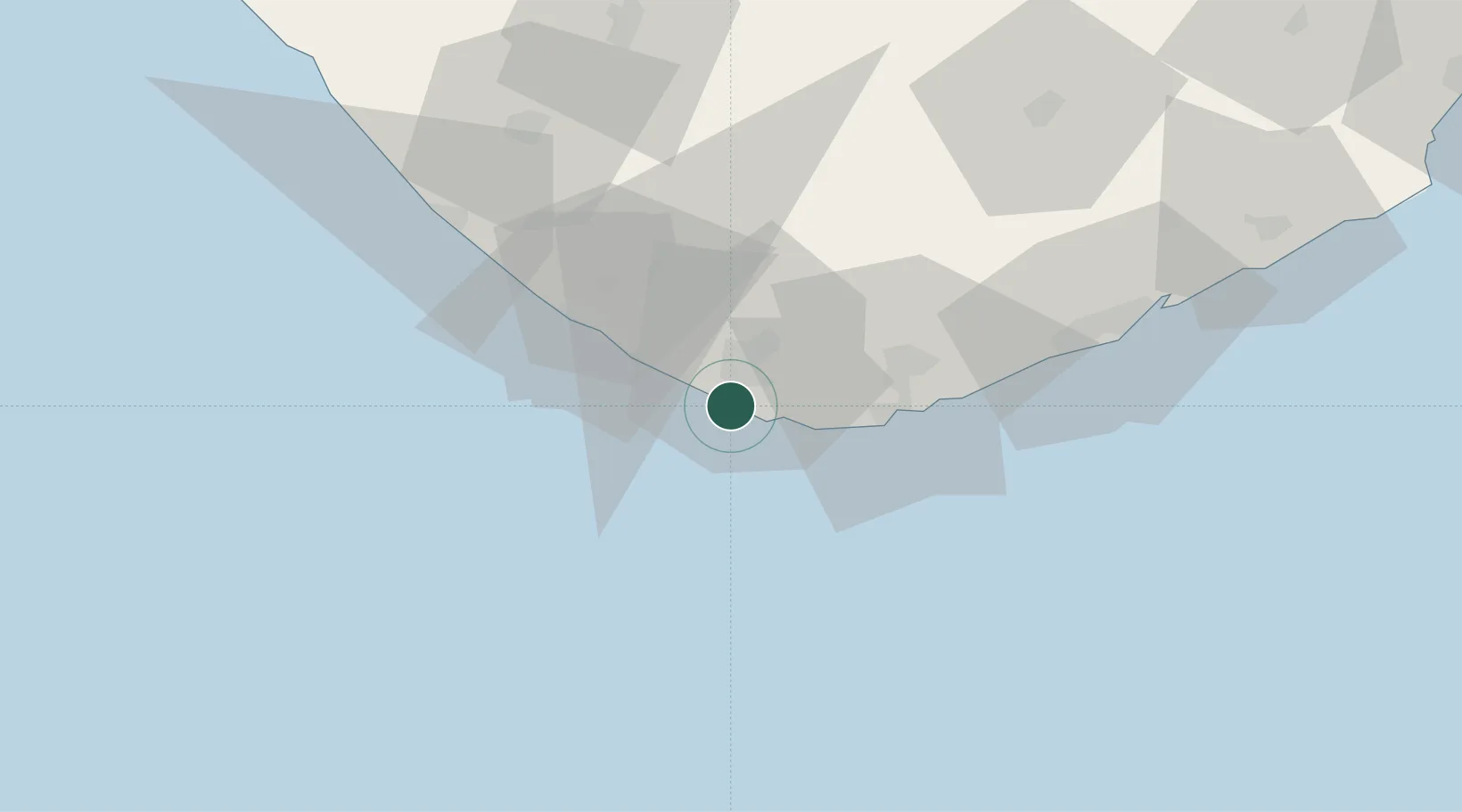
Location
Nearby Logistics Neighbours
Cities
- 1Jafarabad74 km
- 2Junagadh88 km
- 3Rajula89 km
- 4Mumbai (ex Bombay)89 km
- 5Port Pipavav90 km
Ports
- 1Veraval35 km
- 2Jafarabad76 km
- 3Pipavav Bandar90 km
- 4Porbandar148 km
- 5Bhavnagar198 km
Airports
- 1Diu Airport27 km
- 2Keshod Airport75 km
- 3Porbandar Airport145 km
- 4Rajkot Airport174 km
- 5Rajkot International Airport185 km
Trade Zones
- 1Reliance Jamnagar Infrastructure Ltd.203 km
- 2Gujarat Hira Bourse221 km
- 3Dahej SEZ Ltd.226 km
- 4Surat Special Economic Zone232 km
- 5Surat Apparel Park234 km
DatabookThe Record of Consolidated Knowledge
India beyond logistics?