Diversified Zone · India

Surat Special Economic Zone Active
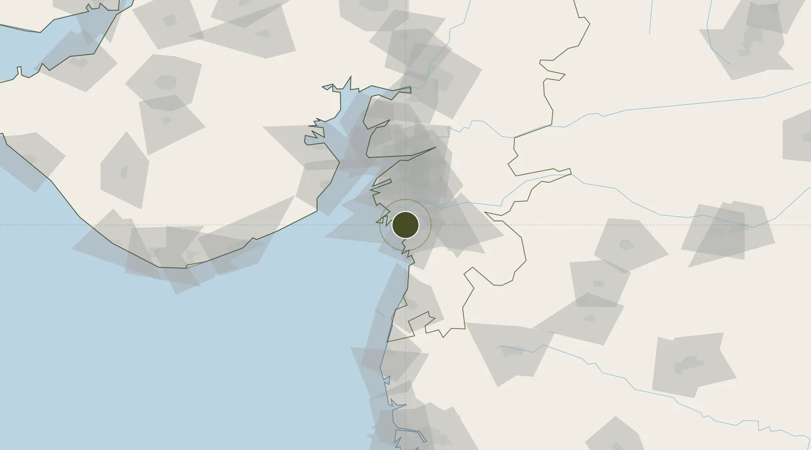
21.0840°, 72.8678°
50 ha
Zone area
14.3 km
Nearest port
13.4 km
Nearest airport

Gateway access

Nearest neighbours — logibook spatial index (haversine) over the source coordinates

Zone profile

Zone type
Diversified Zone
Open Zone Map
Region
Gujarat
Open Zone Map
Status
Active
Open Zone Map
Management
Private
Open Zone Map
Operator
Diamond and Gem Development Corporation Limited (DGDC)
Open Zone Map
Legal framework
Gujarat Special Economic Zone ACT, 2004., The Special Economic Zones Act, 2005
Open Zone Map

Location

Location of ozm-2099
Natural Earth 10m (public domain) · Gujarat · ozm-2099 · 21.08, 72.87GoogleOSMYandex

Nearby Logistics Neighbours

Ports
  1. 1Magdalla14 km
  2. 2Hazira24 km
  3. 3Dahej77 km
  4. 4Bhavnagar100 km
  5. 5Pipavav Bandar142 km
Nearest neighbours — logibook spatial index (haversine) over the source coordinates
Airports
  1. 1Surat International Airport13 km
  2. 2Daman Airport72 km
  3. 3Bhavnagar Airport103 km
  4. 4Vadodara International Airport144 km
  5. 5Nashik International Airport153 km
Nearest neighbours — logibook spatial index (haversine) over the source coordinates
Cities
  1. 1Sachin (Surat)0 km
  2. 2SHB ICD/Surat9 km
  3. 3Sap-SEZ/Surat10 km
  4. 4Ghb-SEZ/Surat10 km
  5. 5Kril ICD21 km
Nearest neighbours — logibook spatial index (haversine) over the source coordinates
Trade Zones
  1. 1Surat Apparel Park2 km
  2. 2Gujarat Hira Bourse18 km
  3. 3HBS Pharma SEZ Private Limited, Bharuch51 km
  4. 4Dahej SEZ Ltd.76 km
  5. 5Jubilant Infrastructure Ltd.78 km
Nearest neighbours — logibook spatial index (haversine) over the source coordinates
DatabookThe Record of Consolidated Knowledge
India beyond logistics?
Browse databook

All Sources

Trade ZonesOpen Zone Map
CC BY
Portsthe NGA World Port Index
Public domain (US gov)
AirportsOurAirports
Public domain
LocationsUN/LOCODE
UN/LOCODE — free
← India trade zones