Channel & Berth Profile
Pilotage, Tugs & Services
Pilotage compulsoryYES
Pilotage availableYES
Pilotage advisableYES
Local assistanceYES
Tug assistanceYES
MedicalYES
Garbage disposalYES
Facilities & Capabilities
Container—
Ro-Ro—
Liquid bulk—
Dry bulk—
Oil terminal—
Break bulk—
Dry dock—
Repairs—
BunkeringNO
Rail linkYES
Dangerous cargo—
ISPS security—
Harbour Specifications
Harbour size
Small
Harbour type
Coastal (Breakwater)
Shelter
Poor
Water body
Arabian Sea; Indian Ocean
Tidal range
1.1 m
Overhead limit
No
Pilotage
Yes
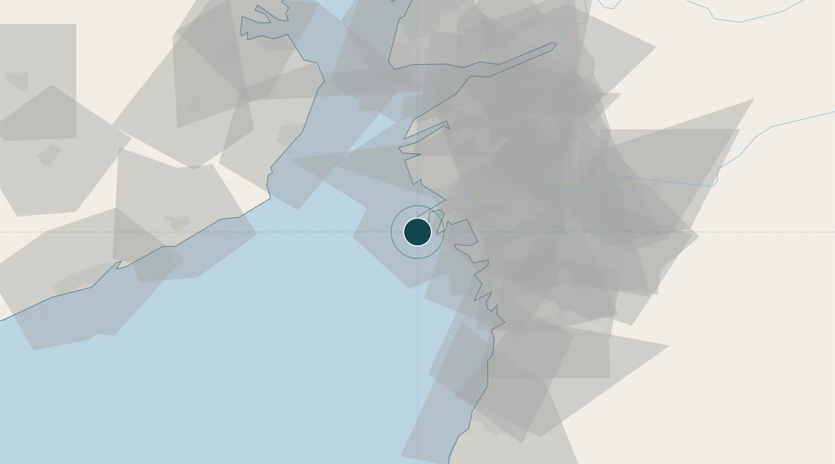
Location
Container Terminals · 1
ADANI HAZIRA CONTAINER TERMINAL
AHCT ADANI HAZIRA PORT PVT. LTD. (AHPPL)
Nearby Logistics Neighbours
Ports
- 1Magdalla14 km
- 2Dahej69 km
- 3Bhavnagar87 km
- 4Pipavav Bandar117 km
- 5Jafarabad132 km
Cities
- 1Gandhar0 km
- 2Surat8 km
- 3Kril ICD13 km
- 4SHB ICD/Surat20 km
- 5Sap-SEZ/Surat23 km
Airports
- 1Surat International Airport12 km
- 2Daman Airport75 km
- 3Bhavnagar Airport88 km
- 4Vadodara International Airport152 km
- 5Nashik International Airport171 km
Trade Zones
- 1Gujarat Hira Bourse16 km
- 2Surat Special Economic Zone24 km
- 3Surat Apparel Park27 km
- 4HBS Pharma SEZ Private Limited, Bharuch61 km
- 5Dahej SEZ Ltd.70 km
DatabookThe Record of Consolidated Knowledge
India beyond logistics?