UN/LOCODE hub · India
INTAS

Sri City Pvt Ltd-SEZ/Satyavedu

13.4333°, 79.9833°
1
Transport functions

Transport Functions

Multimodal
UN/LOCODE

Hub Profile

Region
AP
GeoNames

Location

Location of INTAS
Natural Earth 10m (public domain) · AP · INTAS · 13.43, 79.98GoogleOSMYandex

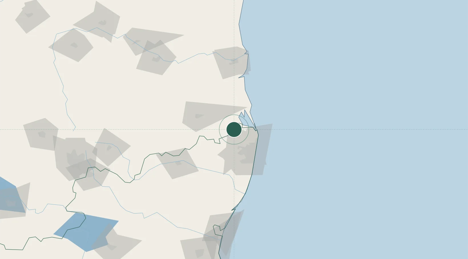
Nearby Logistics Neighbours

Cities
  1. 1LTSL SEZ/Tiruvallur32 km
  2. 2Tiruvallur32 km
  3. 3Mylapore38 km
  4. 4Chennai (ex Madras)39 km
  5. 5Ennore43 km
Nearest neighbours — logibook spatial index (haversine) over the source coordinates
Ports
  1. 1Kamarajar Port43 km
  2. 2Chennai (Madras)51 km
  3. 3Kattupalli Port92 km
  4. 4Pondicherry168 km
  5. 5Cuddalore192 km
Nearest neighbours — logibook spatial index (haversine) over the source coordinates
Airports
  1. 1Tirupati International Airport53 km
  2. 2Chennai International Airport53 km
  3. 3Pondicherry Airport164 km
  4. 4Kadapa Airport178 km
  5. 5Kempegowda International Airport Bengaluru248 km
Nearest neighbours — logibook spatial index (haversine) over the source coordinates
Trade Zones
  1. 1Sri City11 km
  2. 2DLF Info City50 km
  3. 3L & T Shipbuilding50 km
  4. 4State Industries Promotion Corporation of Tamil Nadu Limited51 km
  5. 5Tril Info Park51 km
Nearest neighbours — logibook spatial index (haversine) over the source coordinates
DatabookThe Record of Consolidated Knowledge
India beyond logistics?
Browse databook

All Sources

LocationsUN/LOCODE
UN/LOCODE — free
Portsthe NGA World Port Index
Public domain (US gov)
AirportsOurAirports
Public domain
Trade Zonesthe World Bank SEZ database
CC BY 4.0
Trade ZonesOpen Zone Map
CC BY
← India locations