Transport Functions
Rail
Road
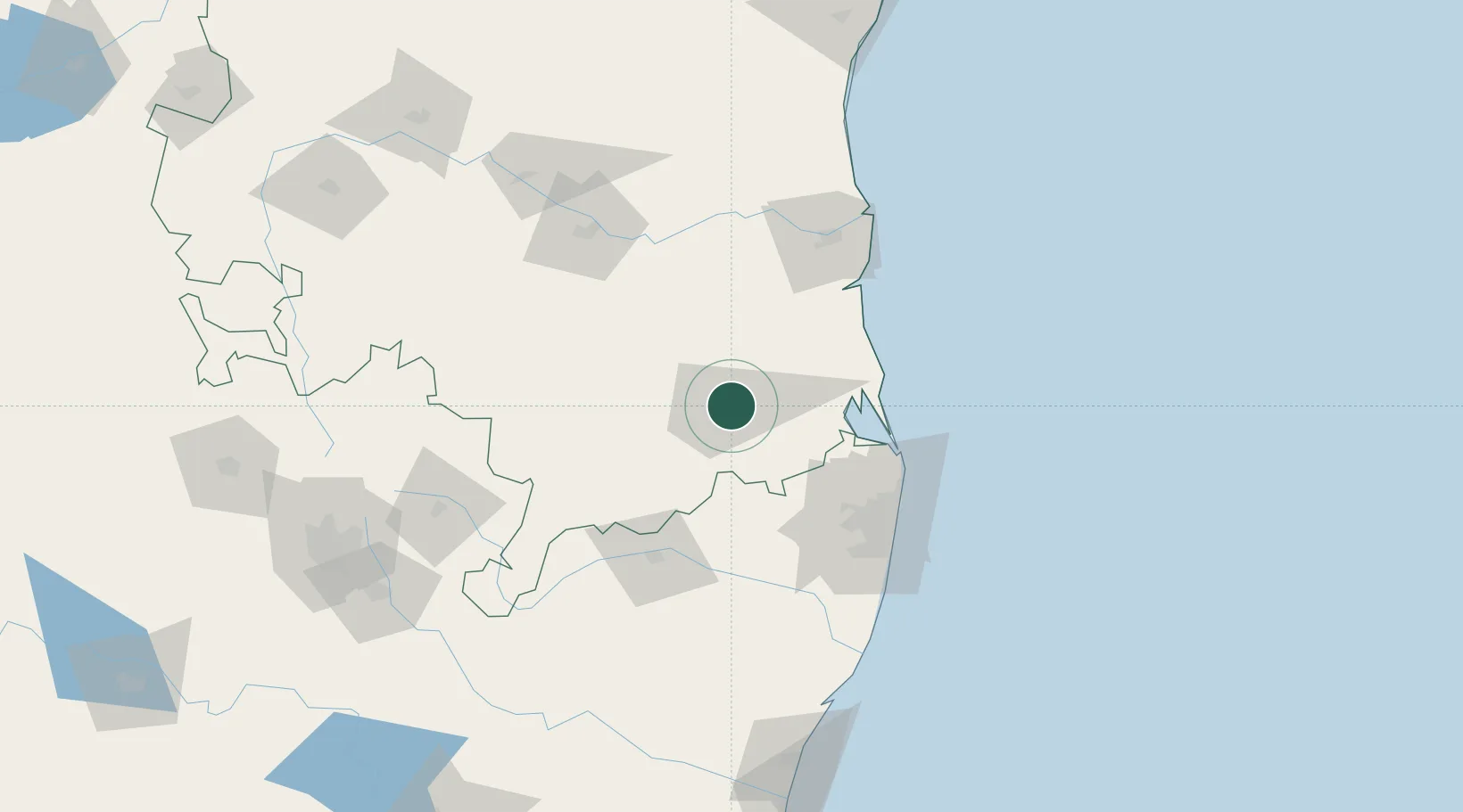
Hub Profile
Place type
Populated place
Region
Andhra Pradesh
Population
26,031
Time zone
Asia/Kolkata
Elevation
112 m
Location
Nearby Logistics Neighbours
Cities
- 1Sri City Pvt Ltd-SEZ/Satyavedu56 km
- 2Güdür64 km
- 3Chittoor67 km
- 4LTSL SEZ/Tiruvallur70 km
- 5Tiruvallur70 km
Ports
- 1Kattupalli Port94 km
- 2Kamarajar Port99 km
- 3Chennai (Madras)105 km
- 4Pondicherry194 km
- 5Cuddalore217 km
Airports
- 1Tirupati International Airport3 km
- 2Chennai International Airport102 km
- 3Kadapa Airport125 km
- 4Pondicherry Airport190 km
- 5Sri Sathya Sai Airport194 km
Trade Zones
DatabookThe Record of Consolidated Knowledge
India beyond logistics?